Distance to Laporte, Colorado

Calculating Your Route
Just a moment while we process your request...
Location Information
-
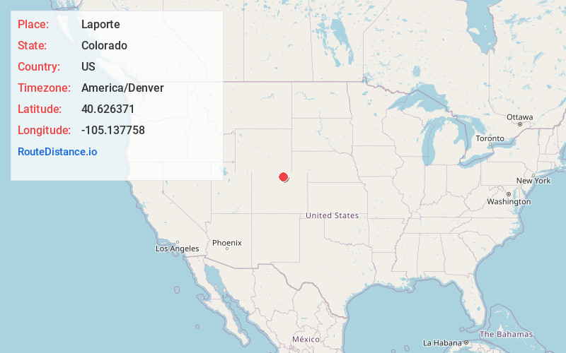
Full AddressLaporte, CO
-
Coordinates40.6263711, -105.1377578
-
LocationLaporte , Colorado , US
-
TimezoneAmerica/Denver
-
Current Local Time4:29:25 PM America/DenverSaturday, June 21, 2025
-
Page Views0
About Laporte
Laporte is an unincorporated town, a post office, and a census-designated place located in and governed by Larimer County, Colorado, United States. The CDP is a part of the Fort Collins, CO Metropolitan Statistical Area. The Laporte post office has the ZIP Code 80535.


Nearby Places
Found 10 places within 50 miles

Fort Collins
4.0 mi
6.4 km
Fort Collins, CO
Get directions

Wellington
8.6 mi
13.8 km
Wellington, CO 80549
Get directions

Timnath
10.4 mi
16.7 km
Timnath, CO
Get directions

Windsor
16.1 mi
25.9 km
Windsor, CO
Get directions

Loveland
16.3 mi
26.2 km
Loveland, CO
Get directions

Severance
16.6 mi
26.7 km
Severance, CO
Get directions

Berthoud
22.2 mi
35.7 km
Berthoud, CO
Get directions

Johnstown
23.2 mi
37.3 km
Johnstown, CO
Get directions

Eaton
24.0 mi
38.6 km
Eaton, CO 80615
Get directions

Milliken
25.3 mi
40.7 km
Milliken, CO
Get directions
Location Links
Local Weather
Weather Information
Coming soon!
Location Map
Static map view of Laporte, Colorado
Browse Places by Distance
Places within specific distances from Laporte
Short Distances
Long Distances
Click any distance to see all places within that range from Laporte. Distances shown in miles (1 mile ≈ 1.61 kilometers).