Distance to Largo, Maryland

Calculating Your Route
Just a moment while we process your request...
Location Information
-
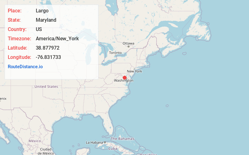
Full AddressLargo, MD 20774
-
Coordinates38.8779723, -76.8317325
-
LocationLargo , Maryland , US
-
TimezoneAmerica/New_York
-
Current Local Time1:08:32 AM America/New_YorkWednesday, June 25, 2025
-
Page Views0
About Largo
Largo is an unincorporated area and census-designated place in Prince George's County, Maryland, United States. The population was 11,605 at the 2020 census.
Largo is located just east of the Capital Beltway and is home to Prince George's Community College and Largo High School.


Nearby Places
Found 10 places within 50 miles

Kettering
1.0 mi
1.6 km
Kettering, MD 20774
Get directions

Lake Arbor
2.1 mi
3.4 km
Lake Arbor, MD
Get directions

Summerfield
2.5 mi
4.0 km
Summerfield, MD
Get directions
Mitchellville
4.2 mi
6.8 km
Mitchellville, MD
Get directions
Greater Landover
4.5 mi
7.2 km
Greater Landover, MD
Get directions
Brock Hall
4.6 mi
7.4 km
Brock Hall, MD
Get directions

Suitland-Silver Hill
5.4 mi
8.7 km
Suitland-Silver Hill, MD
Get directions
Camp Springs
6.5 mi
10.5 km
Camp Springs, MD
Get directions

New Carrollton
6.6 mi
10.6 km
New Carrollton, MD
Get directions
East Riverdale
7.0 mi
11.3 km
East Riverdale, MD
Get directions
Location Links
Local Weather
Weather Information
Coming soon!
Location Map
Static map view of Largo, Maryland
Browse Places by Distance
Places within specific distances from Largo
Short Distances
Long Distances
Click any distance to see all places within that range from Largo. Distances shown in miles (1 mile ≈ 1.61 kilometers).