Distance to Las Cruces, California

Calculating Your Route
Just a moment while we process your request...
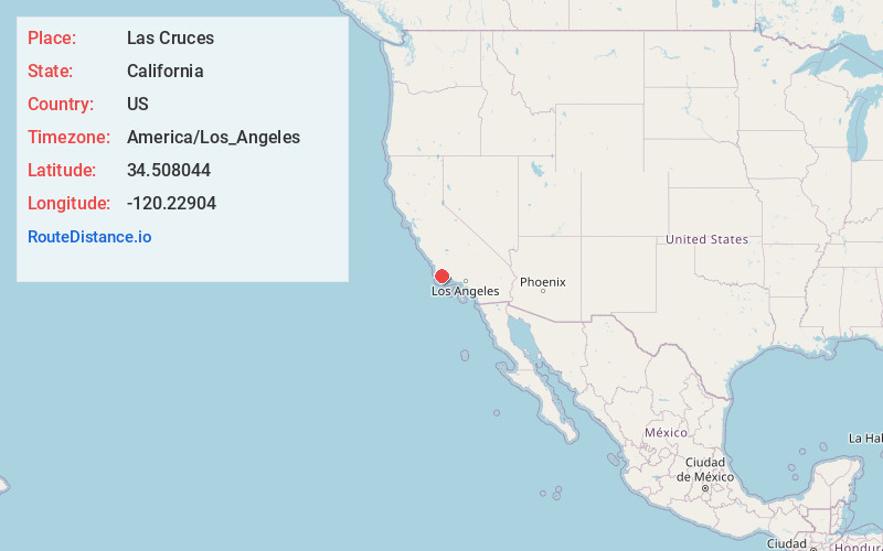
Location Information
-
Full AddressLas Cruces, CA 93436
-
Coordinates34.5080438, -120.2290397
-
LocationCalifornia , US
-
TimezoneAmerica/Los_Angeles
-
Current Local Time7:18:15 AM America/Los_AngelesSunday, June 1, 2025
-
Page Views0
About Las Cruces
Las Cruces is a former settlement and an archaic placename in Santa Barbara County, California. It lies at the split between California State Route 1, which travels north to Lompoc, and U.S. Route 101, which travels north to Buellton.

Nearby Places
Found 10 places within 50 miles

Lento
4.6 mi
7.4 km
Lento, CA 93117
Get directions

Tajiguas
7.4 mi
11.9 km
Tajiguas, CA 93117
Get directions

Buellton
7.6 mi
12.2 km
Buellton, CA 93427
Get directions

Solvang
8.0 mi
12.9 km
Solvang, CA 93463
Get directions
San Augustine
8.1 mi
13.0 km
San Augustine, CA 93117
Get directions

Ballard
10.9 mi
17.5 km
Ballard, CA
Get directions

Santa Ynez
11.2 mi
18.0 km
Santa Ynez, CA
Get directions

Los Olivos
12.8 mi
20.6 km
Los Olivos, CA
Get directions
Cachuma Village
14.6 mi
23.5 km
Cachuma Village, CA 93105
Get directions

Lompoc
15.9 mi
25.6 km
Lompoc, CA
Get directions
Location Links
Local Weather
Weather Information
Coming soon!
Location Map
Static map view of Las Cruces, California
Browse Places by Distance
Places within specific distances from Las Cruces
Short Distances
Long Distances
Click any distance to see all places within that range from Las Cruces. Distances shown in miles (1 mile ≈ 1.61 kilometers).