Distance to Las Palomas, New Mexico

Calculating Your Route
Just a moment while we process your request...
Location Information
-
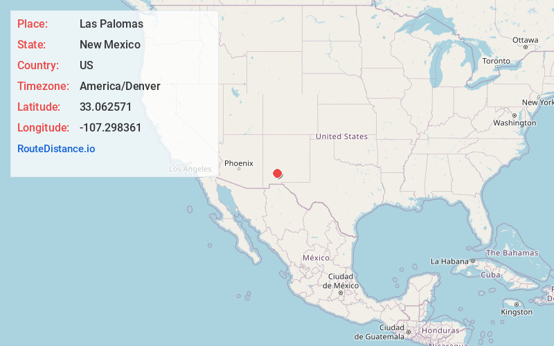
Full AddressLas Palomas, NM 87942
-
Coordinates33.062571, -107.2983605
-
LocationLas Palomas , New Mexico , US
-
TimezoneAmerica/Denver
-
Current Local Time12:40:39 AM America/DenverThursday, July 3, 2025
-
Page Views0
About Las Palomas
Las Palomas is a census-designated place in Sierra County, New Mexico, United States. Its population was 173 as of the 2010 census. The community is located near Exit 71 of Interstate 25; New Mexico State Road 187 also passes through the community.


Nearby Places
Found 6 places within 50 miles

Williamsburg
3.7 mi
6.0 km
Williamsburg, NM
Get directions

Truth or Consequences
5.3 mi
8.5 km
Truth or Consequences, NM
Get directions

Elephant Butte
9.0 mi
14.5 km
Elephant Butte, NM
Get directions

Mimbres
42.0 mi
67.6 km
Mimbres, NM
Get directions

Cedar Hills
42.9 mi
69.0 km
Cedar Hills, New Mexico 88007
Get directions

Radium Springs
45.4 mi
73.1 km
Radium Springs, NM 88007
Get directions
Location Links
Local Weather
Weather Information
Coming soon!
Location Map
Static map view of Las Palomas, New Mexico
Browse Places by Distance
Places within specific distances from Las Palomas
Short Distances
Long Distances
Click any distance to see all places within that range from Las Palomas. Distances shown in miles (1 mile ≈ 1.61 kilometers).