Distance to Lathrop State Park, Colorado

Calculating Your Route
Just a moment while we process your request...
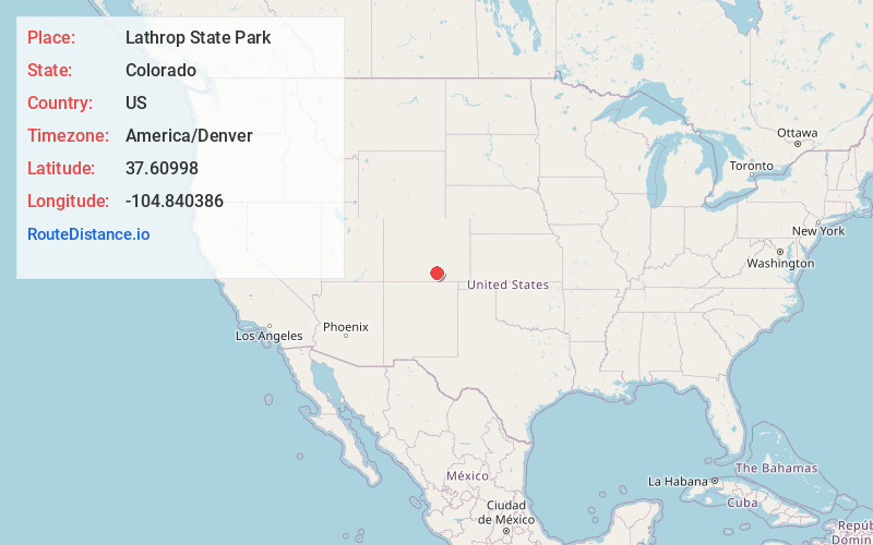
Location Information
-
Full AddressLathrop State Park, 70 Co Rd 502, Walsenburg, CO 81089
-
Coordinates37.6099799, -104.8403861
-
Street70 Co Rd 502
-
LocationWalsenburg , Colorado , US
-
TimezoneAmerica/Denver
-
Current Local Time4:08:34 PM America/DenverThursday, June 5, 2025
-
Page Views0
About Lathrop State Park
Park offering swimming, boating, kayaking & fishing, plus camping & hiking amid mountain views.


Nearby Places
Found 10 places within 50 miles

Pictou
2.5 mi
4.0 km
Pictou, CO 81089
Get directions

Walsenburg
3.4 mi
5.5 km
Walsenburg, CO 81089
Get directions
Alamo
7.2 mi
11.6 km
Alamo, CO 81089
Get directions
Delcarbon
7.4 mi
11.9 km
Delcarbon, CO 81089
Get directions
Tioga
7.7 mi
12.4 km
Tioga, CO 81089
Get directions
Strong
7.9 mi
12.7 km
Strong, CO 81089
Get directions
Cuchara Junction
9.3 mi
15.0 km
Cuchara Junction, CO 81089
Get directions
Pryor
9.9 mi
15.9 km
Pryor, CO 81089
Get directions
Monson
9.9 mi
15.9 km
Monson, CO 81089
Get directions
Rouse
10.8 mi
17.4 km
Rouse, CO 81089
Get directions
Location Links
Local Weather
Weather Information
Coming soon!
Location Map
Static map view of Lathrop State Park, Colorado
Browse Places by Distance
Places within specific distances from Lathrop State Park
Short Distances
Long Distances
Click any distance to see all places within that range from Lathrop State Park. Distances shown in miles (1 mile ≈ 1.61 kilometers).