Distance to Laurel, Virginia

Calculating Your Route
Just a moment while we process your request...
Location Information
-
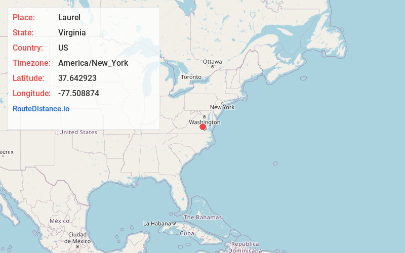
Full AddressLaurel, VA
-
Coordinates37.6429229, -77.5088741
-
LocationLaurel , Virginia , US
-
TimezoneAmerica/New_York
-
Current Local Time12:05:10 PM America/New_YorkThursday, June 19, 2025
-
Page Views0
About Laurel
Laurel is a census-designated place in western Henrico County, Virginia, United States, named after the number of laurel trees in the area. The population was 17,769 at the 2020 United States Census.
Laurel is the location of the Laurel Skate Park.
Nearby Places
Found 8 places within 50 miles

Tuckahoe
4.5 mi
7.2 km
Tuckahoe, VA
Get directions

Short Pump
6.7 mi
10.8 km
Short Pump, VA
Get directions

Mechanicsville
7.8 mi
12.6 km
Mechanicsville, VA
Get directions

Richmond
8.1 mi
13.0 km
Richmond, VA
Get directions

Chester
20.1 mi
32.3 km
Chester, VA
Get directions

Hopewell
26.4 mi
42.5 km
Hopewell, VA 23860
Get directions

Petersburg
29.3 mi
47.2 km
Petersburg, VA
Get directions

Fredericksburg
45.5 mi
73.2 km
Fredericksburg, VA 22401
Get directions
Location Links
Local Weather
Weather Information
Coming soon!
Location Map
Static map view of Laurel, Virginia
Browse Places by Distance
Places within specific distances from Laurel
Short Distances
Long Distances
Click any distance to see all places within that range from Laurel. Distances shown in miles (1 mile ≈ 1.61 kilometers).