Distance to Laurel, Nebraska

Calculating Your Route
Just a moment while we process your request...
Location Information
-
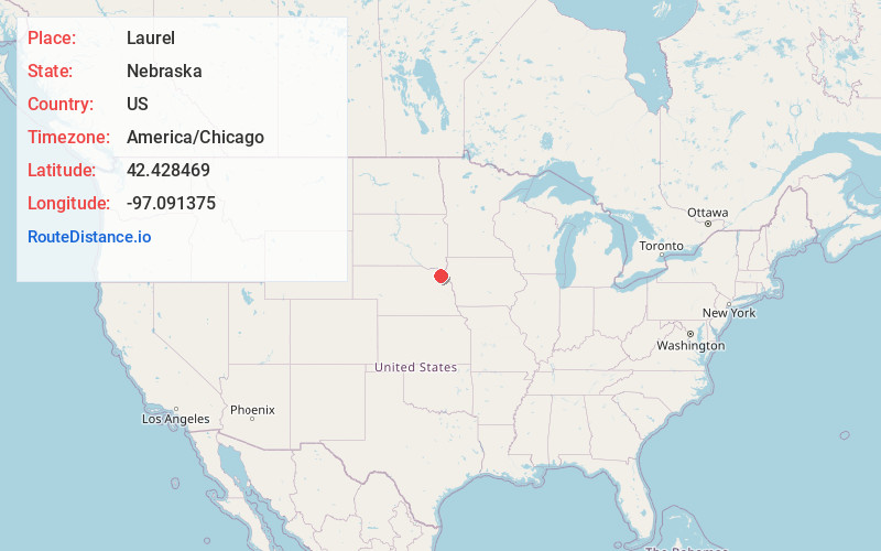
Full AddressLaurel, NE 68745
-
Coordinates42.4284687, -97.0913752
-
LocationLaurel , Nebraska , US
-
TimezoneAmerica/Chicago
-
Current Local Time5:43:31 AM America/ChicagoWednesday, June 4, 2025
-
Page Views0
About Laurel
Laurel is a city in Cedar County, Nebraska located at the merger of Highway 20 and Highway 15 in the northeast corner of the state. Laurel sits roughly 40 miles east of Norfolk, Nebraska, west of Sioux City, Iowa, and south of Yankton, South Dakota. Wayne State College in Wayne, Nebraska is 15 miles south of Laurel.


Nearby Places
Found 10 places within 50 miles

Randolph
13.7 mi
22.0 km
Randolph, NE 68771
Get directions

Wayne
14.2 mi
22.9 km
Wayne, NE 68787
Get directions

Wakefield
16.0 mi
25.7 km
Wakefield, NE 68784
Get directions

Hartington
16.0 mi
25.7 km
Hartington, NE 68739
Get directions

Vermillion
25.6 mi
41.2 km
Vermillion, SD 57069
Get directions

Elk Point
27.2 mi
43.8 km
Elk Point, SD 57025
Get directions

Pierce
27.3 mi
43.9 km
Pierce, NE 68767
Get directions

Pender
29.3 mi
47.2 km
Pender, NE 68047
Get directions

Dakota Dunes
31.1 mi
50.1 km
Dakota Dunes, SD 57049
Get directions

Wisner
31.8 mi
51.2 km
Wisner, NE 68791
Get directions
Location Links
Local Weather
Weather Information
Coming soon!
Location Map
Static map view of Laurel, Nebraska
Browse Places by Distance
Places within specific distances from Laurel
Short Distances
Long Distances
Click any distance to see all places within that range from Laurel. Distances shown in miles (1 mile ≈ 1.61 kilometers).