Distance to Laurel Creek, Kentucky

Calculating Your Route
Just a moment while we process your request...
Location Information
-
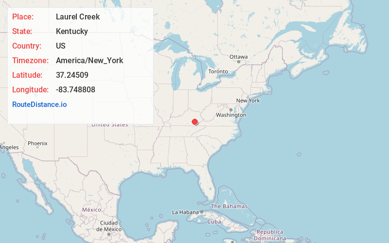
Full AddressLaurel Creek, KY 40962
-
Coordinates37.24509, -83.7488079
-
LocationKentucky , US
-
TimezoneAmerica/New_York
-
Current Local Time10:21:29 PM America/New_YorkFriday, June 6, 2025
-
Page Views0
Nearby Places
Found 10 places within 50 miles

Bernice
2.6 mi
4.2 km
Bernice, KY 40962
Get directions
Ammie
3.4 mi
5.5 km
Ammie, KY 40962
Get directions
Felty
4.5 mi
7.2 km
Felty, KY 40962
Get directions
Alger
4.8 mi
7.7 km
Alger, KY 40962
Get directions
Sextons Creek
5.2 mi
8.4 km
Sextons Creek, KY 40983
Get directions

Oneida
5.5 mi
8.9 km
Oneida, KY 40972
Get directions
Teges
5.6 mi
9.0 km
Teges, KY 40972
Get directions
Littleton
5.7 mi
9.2 km
Littleton, KY 40962
Get directions

Manchester
6.4 mi
10.3 km
Manchester, KY 40962
Get directions
Sourwood
6.5 mi
10.5 km
Sourwood, KY 40486
Get directions
Location Links
Local Weather
Weather Information
Coming soon!
Location Map
Static map view of Laurel Creek, Kentucky
Browse Places by Distance
Places within specific distances from Laurel Creek
Short Distances
Long Distances
Click any distance to see all places within that range from Laurel Creek. Distances shown in miles (1 mile ≈ 1.61 kilometers).