Distance to Laurel, Washington

Calculating Your Route
Just a moment while we process your request...
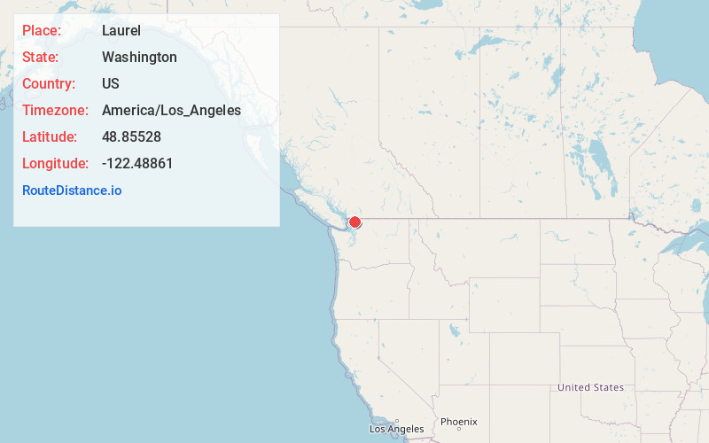
Location Information
-
Full AddressLaurel, WA 98226
-
Coordinates48.85528, -122.4886099
-
LocationLaurel , Washington , US
-
TimezoneAmerica/Los_Angeles
-
Current Local Time12:33:37 AM America/Los_AngelesThursday, June 5, 2025
-
Page Views0
About Laurel
Laurel is an unincorporated community in Whatcom County, Washington, United States. It lies between the cities of Bellingham and Lynden on State Route 539.
Nearby Places
Found 10 places within 50 miles

Ferndale
4.7 mi
7.6 km
Ferndale, WA
Get directions

Wahl
5.8 mi
9.3 km
Wahl, WA 98226
Get directions
Marietta-Alderwood
5.9 mi
9.5 km
Marietta-Alderwood, WA
Get directions

Lynden
6.3 mi
10.1 km
Lynden, WA 98264
Get directions
Goshen
6.7 mi
10.8 km
Goshen, WA 98226
Get directions

Bellingham
7.2 mi
11.6 km
Bellingham, WA
Get directions

Everson
8.0 mi
12.9 km
Everson, WA 98247
Get directions

Custer
8.0 mi
12.9 km
Custer, WA
Get directions
Geneva
8.5 mi
13.7 km
Geneva, WA 98229
Get directions

Nooksack
9.1 mi
14.6 km
Nooksack, WA
Get directions
Location Links
Local Weather
Weather Information
Coming soon!
Location Map
Static map view of Laurel, Washington
Browse Places by Distance
Places within specific distances from Laurel
Short Distances
Long Distances
Click any distance to see all places within that range from Laurel. Distances shown in miles (1 mile ≈ 1.61 kilometers).