Distance to Laurel Ridge, Louisiana

Calculating Your Route
Just a moment while we process your request...
Location Information
-
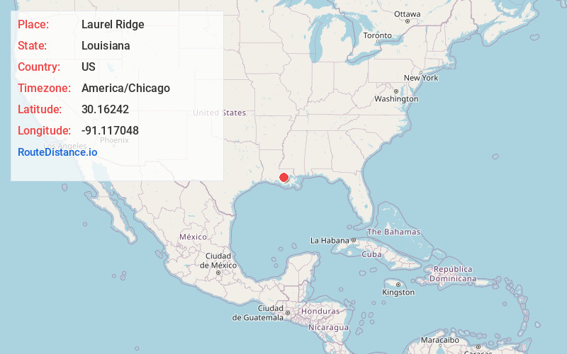
Full AddressLaurel Ridge, LA 70788
-
Coordinates30.1624196, -91.1170478
-
LocationLouisiana , US
-
TimezoneAmerica/Chicago
-
Current Local Time5:29:56 AM America/ChicagoSaturday, June 7, 2025
-
Page Views0
Nearby Places
Found 10 places within 50 miles

Alhambra
1.0 mi
1.6 km
Alhambra, LA 70788
Get directions
Cora
1.3 mi
2.1 km
Cora, LA 70788
Get directions

White Castle
1.9 mi
3.1 km
White Castle, LA 70788
Get directions
Cannonburg
2.5 mi
4.0 km
Cannonburg, LA 70788
Get directions
Dorseyville
2.8 mi
4.5 km
Dorseyville, LA 70788
Get directions
Samstown
3.1 mi
5.0 km
Samstown, LA 70788
Get directions
Catherine
3.3 mi
5.3 km
Catherine, LA 70788
Get directions
Noel
3.5 mi
5.6 km
Noel, LA 70346
Get directions
Bayou Goula
4.5 mi
7.2 km
Bayou Goula, LA 70788
Get directions
Bruly La Croix
4.7 mi
7.6 km
Bruly La Croix, LA 70788
Get directions
Location Links
Local Weather
Weather Information
Coming soon!
Location Map
Static map view of Laurel Ridge, Louisiana
Browse Places by Distance
Places within specific distances from Laurel Ridge
Short Distances
Long Distances
Click any distance to see all places within that range from Laurel Ridge. Distances shown in miles (1 mile ≈ 1.61 kilometers).