Distance to Laureles, Texas

Calculating Your Route
Just a moment while we process your request...
Location Information
-
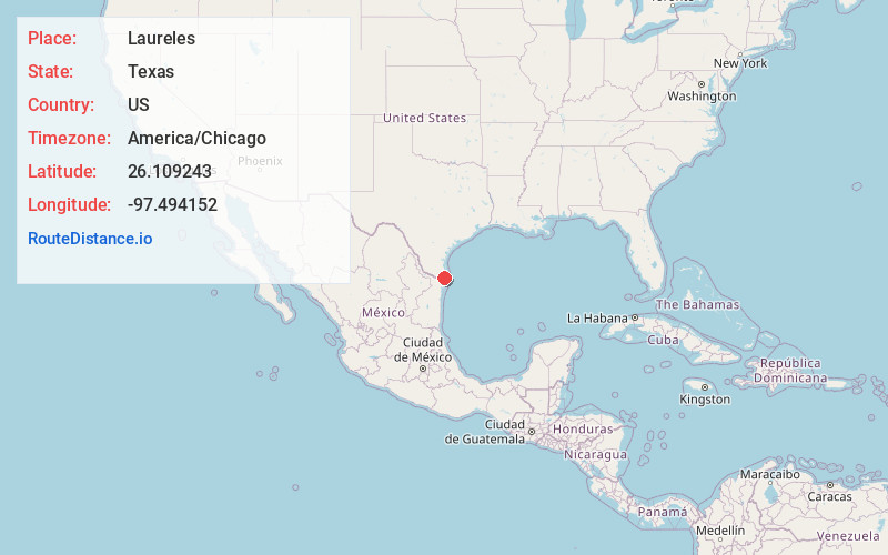
Full AddressLaureles, TX
-
Coordinates26.1092429, -97.4941516
-
LocationLaureles , Texas , US
-
TimezoneAmerica/Chicago
-
Current Local Time6:35:23 PM America/ChicagoMonday, May 19, 2025
-
Page Views0
About Laureles
Laureles is a census-designated place in Cameron County, Texas, United States. The population was 4,111 at the 2020 census. It is part of the Brownsville–Harlingen Metropolitan Statistical Area. Laureles is an area between Los Fresnos and San Benito.
Nearby Places
Found 10 places within 50 miles

Los Fresnos
2.8 mi
4.5 km
Los Fresnos, TX
Get directions

San Benito
8.6 mi
13.8 km
San Benito, TX 78586
Get directions

Cameron Park
10.1 mi
16.3 km
Cameron Park, TX 78526
Get directions

Harlingen
13.7 mi
22.0 km
Harlingen, TX
Get directions

Brownsville
14.3 mi
23.0 km
Brownsville, TX
Get directions

Port Isabel
17.9 mi
28.8 km
Port Isabel, TX
Get directions

Primera
18.2 mi
29.3 km
Primera, TX 78552
Get directions

La Feria
20.8 mi
33.5 km
La Feria, TX 78559
Get directions

Mercedes
26.2 mi
42.2 km
Mercedes, TX
Get directions

Progreso
28.8 mi
46.3 km
Progreso, TX 78596
Get directions
Location Links
Local Weather
Weather Information
Coming soon!
Location Map
Static map view of Laureles, Texas
Browse Places by Distance
Places within specific distances from Laureles
Short Distances
Long Distances
Click any distance to see all places within that range from Laureles. Distances shown in miles (1 mile ≈ 1.61 kilometers).