Distance to and from Laurinburg, North Carolina
Laurinburg, NC 28352
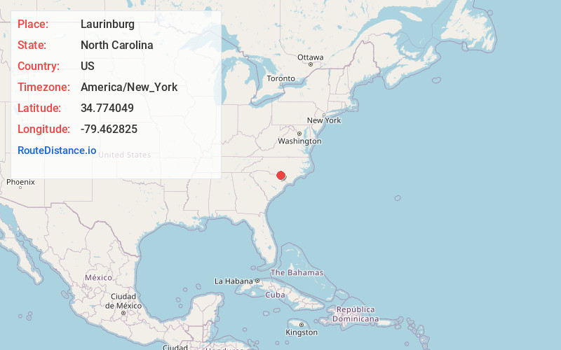
Laurinburg
North Carolina
US
America/New_York
Location Information
-
Full AddressLaurinburg, NC 28352
-
Coordinates34.7740494, -79.4628248
-
LocationLaurinburg , North Carolina , US
-
TimezoneAmerica/New_York
-
Current Local Time7:25:12 PM America/New_YorkSaturday, May 3, 2025
-
Page Views0
Directions to Nearest Cities
About Laurinburg
Laurinburg is a city in and the county seat of Scotland County, North Carolina, United States. Located in southern North Carolina near the South Carolina border, Laurinburg is southwest of Fayetteville and is home to St. Andrews University. The population was 14,978 at the 2020 Census.


Nearby Places
Found 7 places within 50 miles

Southern Pines
27.9 mi
44.9 km
Southern Pines, NC
Get directions

Lumberton
28.0 mi
45.1 km
Lumberton, NC
Get directions

Pinehurst
29.1 mi
46.8 km
Pinehurst, NC
Get directions

Hope Mills
32.2 mi
51.8 km
Hope Mills, NC
Get directions

Fayetteville
38.3 mi
61.6 km
Fayetteville, NC
Get directions

Florence
43.4 mi
69.8 km
Florence, SC
Get directions

Anderson Creek
46.8 mi
75.3 km
Anderson Creek, NC
Get directions
Southern Pines
27.9 mi
44.9 km
Southern Pines, NC
Lumberton
28.0 mi
45.1 km
Lumberton, NC
Pinehurst
29.1 mi
46.8 km
Pinehurst, NC
Hope Mills
32.2 mi
51.8 km
Hope Mills, NC
Fayetteville
38.3 mi
61.6 km
Fayetteville, NC
Florence
43.4 mi
69.8 km
Florence, SC
Anderson Creek
46.8 mi
75.3 km
Anderson Creek, NC
Location Links
Local Weather
Weather Information
Coming soon!
Location Map
Static map view of Laurinburg, North Carolina
Browse Places by Distance
Places within specific distances from Laurinburg
Short Distances
Long Distances
Click any distance to see all places within that range from Laurinburg. Distances shown in miles (1 mile ≈ 1.61 kilometers).