Distance to Lawnside, New Jersey

Calculating Your Route
Just a moment while we process your request...
Location Information
-
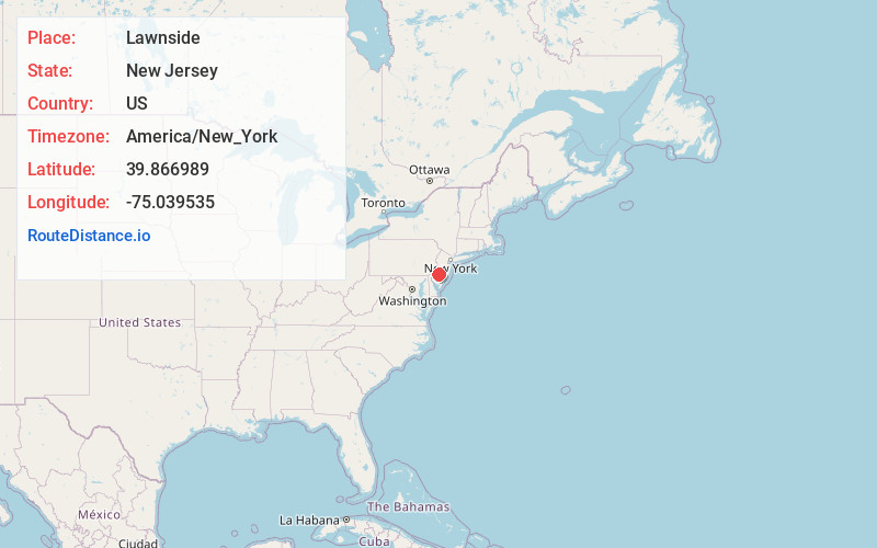
Full AddressLawnside, NJ
-
Coordinates39.8669886, -75.0395348
-
LocationLawnside , New Jersey , US
-
TimezoneAmerica/New_York
-
Current Local Time3:03:59 PM America/New_YorkTuesday, June 24, 2025
-
Website
-
Page Views0
About Lawnside
Lawnside is a borough in Camden County, in the U.S. state of New Jersey. Lawnside was developed in 1840 and incorporated in 1926 as the first independent, self-governing Black municipality north of the Mason–Dixon line. The United Parcel Service has a large depot in the borough.
Nearby Places
Found 10 places within 50 miles

Barrington
0.8 mi
1.3 km
Barrington, NJ
Get directions

Magnolia
0.9 mi
1.4 km
Magnolia, NJ
Get directions

Haddon Heights
1.5 mi
2.4 km
Haddon Heights, NJ
Get directions

Somerdale
1.7 mi
2.7 km
Somerdale, NJ
Get directions
Runnemede
2.2 mi
3.5 km
Runnemede, NJ
Get directions

Haddonfield
2.2 mi
3.5 km
Haddonfield, NJ
Get directions

Audubon
2.4 mi
3.9 km
Audubon, NJ 08106
Get directions

Mt Ephraim
2.7 mi
4.3 km
Mt Ephraim, NJ
Get directions

Bellmawr
2.8 mi
4.5 km
Bellmawr, NJ
Get directions

Stratford
2.9 mi
4.7 km
Stratford, NJ
Get directions
Location Links
Local Weather
Weather Information
Coming soon!
Location Map
Static map view of Lawnside, New Jersey
Browse Places by Distance
Places within specific distances from Lawnside
Short Distances
Long Distances
Click any distance to see all places within that range from Lawnside. Distances shown in miles (1 mile ≈ 1.61 kilometers).