Distance to Lawrence County, Alabama

Calculating Your Route
Just a moment while we process your request...
Location Information
-
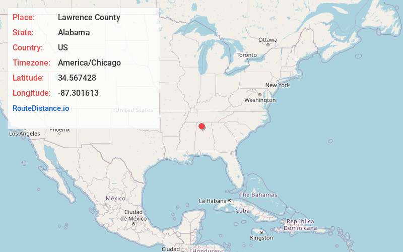
Full AddressLawrence County, AL
-
Coordinates34.567428, -87.3016132
-
LocationAlabama , US
-
TimezoneAmerica/Chicago
-
Current Local Time11:50:35 PM America/ChicagoFriday, May 30, 2025
-
Page Views0
About Lawrence County
Lawrence County is a county in the northern part of the U.S. state of Alabama. As of the 2020 census, the population was 33,073. The county seat is Moulton. The county was named after James Lawrence, a captain in the United States Navy from New Jersey.


Nearby Places
Found 10 places within 50 miles

Mt Moriah
2.1 mi
3.4 km
Mt Moriah, AL 35650
Get directions
Mountain Home
2.2 mi
3.5 km
Mountain Home, AL 35650
Get directions
Masterson Mill
2.2 mi
3.5 km
Masterson Mill, AL 35650
Get directions
Chalybeate Springs
4.3 mi
6.9 km
Chalybeate Springs, AL 35643
Get directions
Terrytown
4.6 mi
7.4 km
Terrytown, AL 35618
Get directions

Moulton
6.0 mi
9.7 km
Moulton, AL 35650
Get directions
Rigdom
6.4 mi
10.3 km
Rigdom, AL 35672
Get directions

Hatton
6.5 mi
10.5 km
Hatton, AL 35672
Get directions
Muck City
6.6 mi
10.6 km
Muck City, AL 35650
Get directions

Courtland
7.0 mi
11.3 km
Courtland, AL
Get directions
Location Links
Local Weather
Weather Information
Coming soon!
Location Map
Static map view of Lawrence County, Alabama
Browse Places by Distance
Places within specific distances from Lawrence County
Short Distances
Long Distances
Click any distance to see all places within that range from Lawrence County. Distances shown in miles (1 mile ≈ 1.61 kilometers).