Distance to Lawrence County, Tennessee

Calculating Your Route
Just a moment while we process your request...
Location Information
-
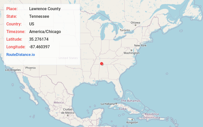
Full AddressLawrence County, TN
-
Coordinates35.2761735, -87.460397
-
LocationTennessee , US
-
TimezoneAmerica/Chicago
-
Current Local Time1:08:54 PM America/ChicagoTuesday, June 24, 2025
-
Page Views0
About Lawrence County
Lawrence County is a county located in the U.S. state of Tennessee. As of the 2020 census, the population was 44,159. Its county seat and largest city is Lawrenceburg.

Nearby Places
Found 10 places within 50 miles

Park Grove
5.5 mi
8.9 km
Park Grove, TN 38464
Get directions
Lodi
6.4 mi
10.3 km
Lodi, TN 38486
Get directions

Laurel Hill Lake
6.5 mi
10.5 km
Laurel Hill Lake, Tennessee 38464
Get directions
Sims Ridge
6.5 mi
10.5 km
Sims Ridge, TN 38486
Get directions

Lawrenceburg
7.5 mi
12.1 km
Lawrenceburg, TN
Get directions
Henryville
8.8 mi
14.2 km
Henryville, TN 38464
Get directions
Mt Zion
8.9 mi
14.3 km
Mt Zion, TN 38464
Get directions
Ethridge
9.4 mi
15.1 km
Ethridge, TN 38456
Get directions
Turkey Track
10.1 mi
16.3 km
Turkey Track, TN 38464
Get directions
Leoma
10.1 mi
16.3 km
Leoma, TN 38468
Get directions
Location Links
Local Weather
Weather Information
Coming soon!
Location Map
Static map view of Lawrence County, Tennessee
Browse Places by Distance
Places within specific distances from Lawrence County
Short Distances
Long Distances
Click any distance to see all places within that range from Lawrence County. Distances shown in miles (1 mile ≈ 1.61 kilometers).