Distance to Le Blanc, Louisiana

Calculating Your Route
Just a moment while we process your request...
Location Information
-
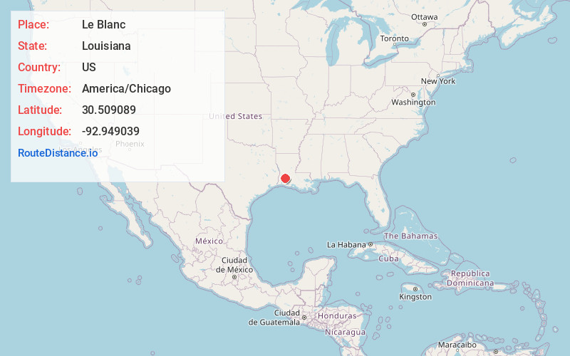
Full AddressLe Blanc, LA 70658
-
Coordinates30.5090893, -92.9490394
-
LocationLe Blanc , Louisiana , US
-
TimezoneAmerica/Chicago
-
Current Local Time8:11:18 PM America/ChicagoTuesday, May 20, 2025
-
Page Views0
About Le Blanc
Le Blanc is an unincorporated community in Allen Parish, Louisiana, United States. The community is located along U.S. Route 190, 6 miles west-northwest of Kinder. Le Blanc has a post office with ZIP code 70651, which opened on December 20, 1899.
Nearby Places
Found 10 places within 50 miles

Reeves
5.9 mi
9.5 km
Reeves, LA 70658
Get directions

Kinder
6.1 mi
9.8 km
Kinder, LA 70648
Get directions
Fontenot
6.5 mi
10.5 km
Fontenot, LA 70648
Get directions

Allen Parish
7.7 mi
12.4 km
Allen Parish, LA
Get directions

Fenton
10.0 mi
16.1 km
Fenton, LA
Get directions
Lauderdale
10.5 mi
16.9 km
Lauderdale, LA 70648
Get directions

Oberlin
13.5 mi
21.7 km
Oberlin, LA
Get directions

Elton
15.2 mi
24.5 km
Elton, LA 70532
Get directions
Barnsdall
17.6 mi
28.3 km
Barnsdall, LA 70532
Get directions
Gillis
17.7 mi
28.5 km
Gillis, LA 70611
Get directions
Location Links
Local Weather
Weather Information
Coming soon!
Location Map
Static map view of Le Blanc, Louisiana
Browse Places by Distance
Places within specific distances from Le Blanc
Short Distances
Long Distances
Click any distance to see all places within that range from Le Blanc. Distances shown in miles (1 mile ≈ 1.61 kilometers).