Distance to Le Mars, Iowa

Calculating Your Route
Just a moment while we process your request...
Location Information
-
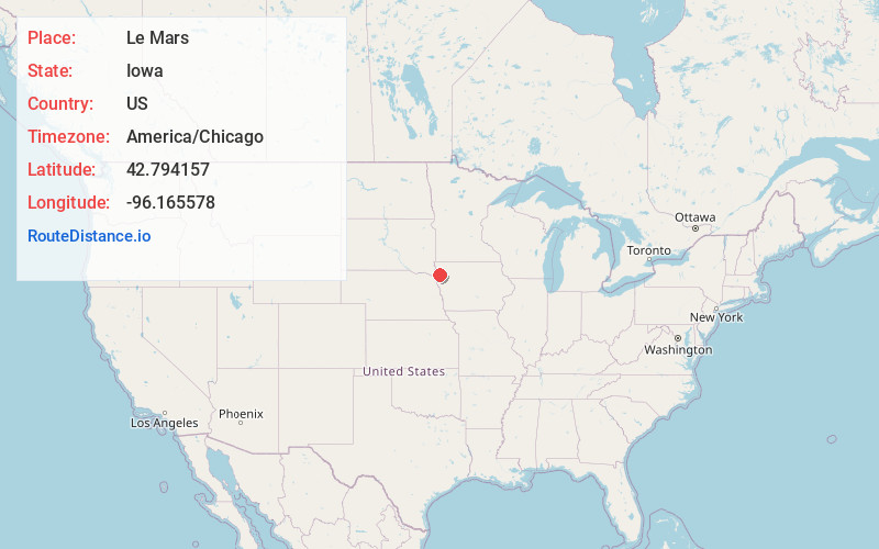
Full AddressLe Mars, IA 51031
-
Coordinates42.7941567, -96.1655778
-
LocationLe Mars , Iowa , US
-
TimezoneAmerica/Chicago
-
Current Local Time10:20:23 PM America/ChicagoThursday, June 19, 2025
-
Website
-
Page Views0
About Le Mars
Le Mars is a city and the county seat of Plymouth County, Iowa, United States. It is located on the Floyd River northeast of Sioux City. The population was 10,571 at the time of the 2020 census. Le Mars is located within America Township and is part of the Sioux City metropolitan area.


Nearby Places
Found 2 places within 50 miles


Location Links
Local Weather
Weather Information
Coming soon!
Location Map
Static map view of Le Mars, Iowa
Browse Places by Distance
Places within specific distances from Le Mars
Short Distances
Long Distances
Click any distance to see all places within that range from Le Mars. Distances shown in miles (1 mile ≈ 1.61 kilometers).