Distance to Leaf, Mississippi

Calculating Your Route
Just a moment while we process your request...
Location Information
-
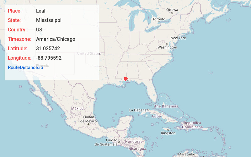
Full AddressLeaf, MS 39456
-
Coordinates31.025742, -88.7955915
-
LocationLeaf , Mississippi , US
-
TimezoneAmerica/Chicago
-
Current Local Time6:34:01 AM America/ChicagoSaturday, June 7, 2025
-
Page Views0
About Leaf
Leaf is a census-designated place and unincorporated community in Greene County, Mississippi, United States.
Leaf is located east of Leaf River Wildlife Management Area, within the eastern boundary of De Soto National Forest.
The town is named for the Leaf River, which flows a few miles east.
Nearby Places
Found 10 places within 50 miles

McLain
6.0 mi
9.7 km
McLain, MS 39456
Get directions

Beaumont
12.3 mi
19.8 km
Beaumont, MS 39423
Get directions

Lucedale
14.0 mi
22.5 km
Lucedale, MS 39452
Get directions

Leakesville
16.7 mi
26.9 km
Leakesville, MS
Get directions

New Augusta
18.7 mi
30.1 km
New Augusta, MS 39462
Get directions
Agricola
22.2 mi
35.7 km
Agricola, MS 39452
Get directions

Wiggins
23.2 mi
37.3 km
Wiggins, MS 39577
Get directions

Bond
23.9 mi
38.5 km
Bond, MS 39577
Get directions

Richton
23.9 mi
38.5 km
Richton, MS 39476
Get directions
Wade
29.8 mi
48.0 km
Wade, MS 39562
Get directions
Location Links
Local Weather
Weather Information
Coming soon!
Location Map
Static map view of Leaf, Mississippi
Browse Places by Distance
Places within specific distances from Leaf
Short Distances
Long Distances
Click any distance to see all places within that range from Leaf. Distances shown in miles (1 mile ≈ 1.61 kilometers).