Distance to Leander, Texas

Calculating Your Route
Just a moment while we process your request...
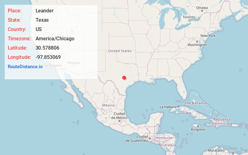
Location Information
-
Full AddressLeander, TX
-
Coordinates30.5788055, -97.8530686
-
LocationLeander , Texas , US
-
TimezoneAmerica/Chicago
-
Current Local Time11:44:14 PM America/ChicagoFriday, May 30, 2025
-
Page Views0
About Leander
Leander is a city in Williamson and Travis Counties, Texas, United States. Its population was 59,202 at the 2020 census and 74,375 at the 2022 census estimate. A suburb just north of Austin, and part of the Greater Austin metropolitan area, it was the fastest-growing city in the United States between 2018 and 2019.


Nearby Places
Found 7 places within 50 miles

Cedar Park
5.4 mi
8.7 km
Cedar Park, TX
Get directions

Georgetown
11.1 mi
17.9 km
Georgetown, TX
Get directions

Round Rock
11.5 mi
18.5 km
Round Rock, TX
Get directions

Austin
22.5 mi
36.2 km
Austin, TX
Get directions

Killeen
38.2 mi
61.5 km
Killeen, TX
Get directions

Temple
47.0 mi
75.6 km
Temple, TX
Get directions

San Marcos
48.3 mi
77.7 km
San Marcos, TX
Get directions
Location Links
Local Weather
Weather Information
Coming soon!
Location Map
Static map view of Leander, Texas
Browse Places by Distance
Places within specific distances from Leander
Short Distances
Long Distances
Click any distance to see all places within that range from Leander. Distances shown in miles (1 mile ≈ 1.61 kilometers).