Distance to Leber, Washington

Calculating Your Route
Just a moment while we process your request...
Location Information
-
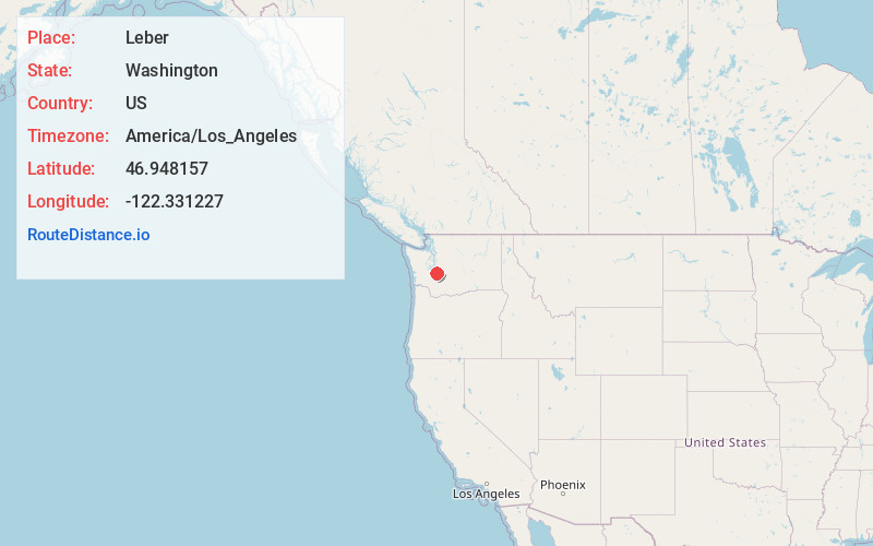
Full AddressLeber, WA 98328
-
Coordinates46.9481572, -122.3312274
-
LocationLeber , Washington , US
-
TimezoneAmerica/Los_Angeles
-
Current Local Time2:08:53 PM America/Los_AngelesSaturday, June 28, 2025
-
Page Views0
Nearby Places
Found 10 places within 50 miles

Clay City
3.9 mi
6.3 km
Clay City, WA 98328
Get directions
Surprise Valley
4.8 mi
7.7 km
Surprise Valley, WA 98328
Get directions
Ohop Bob
5.3 mi
8.5 km
Ohop Bob, WA 98328
Get directions
Kapowsin
5.6 mi
9.0 km
Kapowsin, WA
Get directions

Eatonville Junction
5.7 mi
9.2 km
Eatonville Junction, WA 98328
Get directions

Eatonville
6.4 mi
10.3 km
Eatonville, WA 98328
Get directions

Ohop
6.6 mi
10.6 km
Ohop, WA 98360
Get directions
Electron
7.2 mi
11.6 km
Electron, WA 98360
Get directions

Graham
7.4 mi
11.9 km
Graham, WA
Get directions
Puyallup River Junction
7.6 mi
12.2 km
Puyallup River Junction, WA 98360
Get directions
Location Links
Local Weather
Weather Information
Coming soon!
Location Map
Static map view of Leber, Washington
Browse Places by Distance
Places within specific distances from Leber
Short Distances
Long Distances
Click any distance to see all places within that range from Leber. Distances shown in miles (1 mile ≈ 1.61 kilometers).