Distance to Lebo, Kansas

Calculating Your Route
Just a moment while we process your request...
Location Information
-
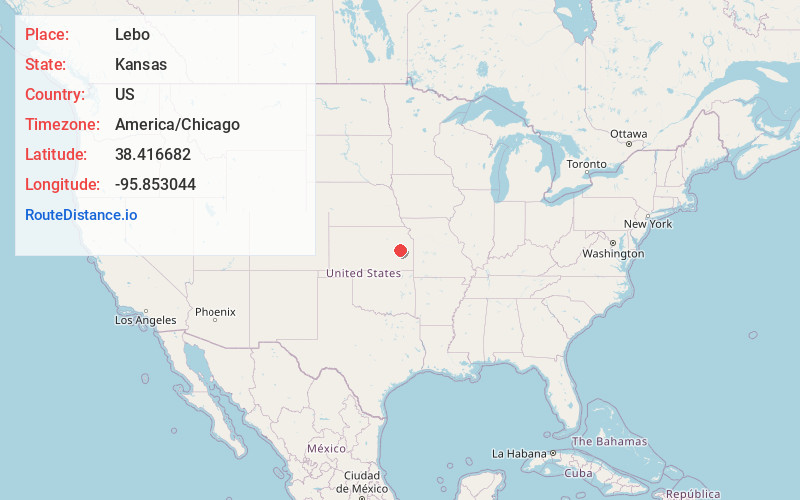
Full AddressLebo, KS 66856
-
Coordinates38.4166818, -95.8530441
-
LocationLebo , Kansas , US
-
TimezoneAmerica/Chicago
-
Current Local Time3:19:29 AM America/ChicagoThursday, June 5, 2025
-
Website
-
Page Views0
About Lebo
Lebo is a city in Coffey County, Kansas, United States. As of the 2020 census, the population of the city was 885.
Nearby Places
Found 10 places within 50 miles

Osage City
15.1 mi
24.3 km
Osage City, KS 66523
Get directions

Lyndon
16.2 mi
26.1 km
Lyndon, KS 66451
Get directions

Burlington
16.5 mi
26.6 km
Burlington, KS 66839
Get directions

Emporia
17.8 mi
28.6 km
Emporia, KS 66801
Get directions

Vassar
20.6 mi
33.2 km
Vassar, KS
Get directions

Americus
23.0 mi
37.0 km
Americus, KS 66835
Get directions

Burlingame
23.3 mi
37.5 km
Burlingame, KS 66413
Get directions
Madison
24.8 mi
39.9 km
Madison, KS 66860
Get directions

Pomona
25.4 mi
40.9 km
Pomona, KS 66076
Get directions
Scranton
26.0 mi
41.8 km
Scranton, KS 66537
Get directions
Location Links
Local Weather
Weather Information
Coming soon!
Location Map
Static map view of Lebo, Kansas
Browse Places by Distance
Places within specific distances from Lebo
Short Distances
Long Distances
Click any distance to see all places within that range from Lebo. Distances shown in miles (1 mile ≈ 1.61 kilometers).