Distance to Ledger, Montana

Calculating Your Route
Just a moment while we process your request...
Location Information
-
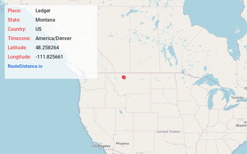
Full AddressLedger, MT 59425
-
Coordinates48.2582636, -111.8256609
-
LocationLedger , Montana , US
-
TimezoneAmerica/Denver
-
Current Local Time6:42:00 PM America/DenverThursday, June 19, 2025
-
Page Views0
About Ledger
Ledger is an unincorporated community in Pondera County, Montana, United States. Ledger is 8.5 miles northeast of Conrad. The community had a post office until December 17, 2005; it still has its own ZIP code, 59456.
The post office opened in 1916 under the name Esper.
Nearby Places
Found 10 places within 50 miles

Conrad
8.3 mi
13.4 km
Conrad, MT 59425
Get directions

Naismith
9.2 mi
14.8 km
Naismith, MT 59474
Get directions
Brady
15.4 mi
24.8 km
Brady, MT 59416
Get directions
Dunkirk
16.9 mi
27.2 km
Dunkirk, MT 59474
Get directions

Shelby
17.2 mi
27.7 km
Shelby, MT 59474
Get directions
Valier
19.8 mi
31.9 km
Valier, MT
Get directions
Devon
21.5 mi
34.6 km
Devon, MT 59474
Get directions
New Miami Colony
21.5 mi
34.6 km
New Miami Colony, MT
Get directions
Ethridge
24.7 mi
39.8 km
Ethridge, MT 59474
Get directions

Pendroy
25.3 mi
40.7 km
Pendroy, MT
Get directions
Location Links
Local Weather
Weather Information
Coming soon!
Location Map
Static map view of Ledger, Montana
Browse Places by Distance
Places within specific distances from Ledger
Short Distances
Long Distances
Click any distance to see all places within that range from Ledger. Distances shown in miles (1 mile ≈ 1.61 kilometers).