Distance to Ledyard, Connecticut

Calculating Your Route
Just a moment while we process your request...
Location Information
-
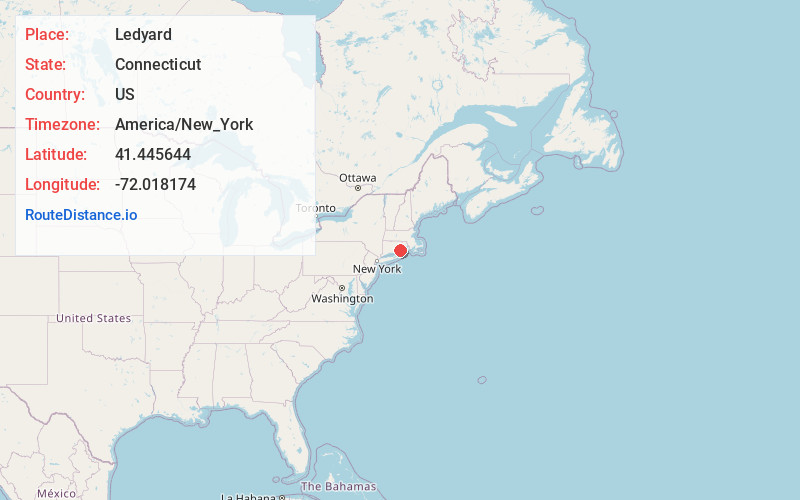
Full AddressLedyard, CT
-
Coordinates41.4456444, -72.0181743
-
LocationLedyard , Connecticut , US
-
TimezoneAmerica/New_York
-
Current Local Time12:02:18 PM America/New_YorkMonday, June 23, 2025
-
Page Views0
About Ledyard
Ledyard is a Town in New London County, Connecticut, United States, located along the Thames River. The town is named after Colonel William Ledyard, a Revolutionary War officer who was killed at the Battle of Groton Heights. The town is part of the Southeastern Connecticut Planning Region.


Nearby Places
Found 10 places within 50 miles

Quakertown
2.6 mi
4.2 km
Quakertown, Ledyard, CT 06339
Get directions

Poquetanuck Cove
2.9 mi
4.7 km
Poquetanuck Cove, Connecticut
Get directions
Shewville
3.2 mi
5.1 km
Shewville, Preston, CT 06365
Get directions
Hallville Pond
3.3 mi
5.3 km
Hallville Pond, Preston, CT 06365
Get directions

Preston
5.3 mi
8.5 km
Preston, CT
Get directions
Harrisons
5.9 mi
9.5 km
Harrisons, Waterford, CT 06375
Get directions

Norwich
6.2 mi
10.0 km
Norwich, CT
Get directions

North Stonington
7.1 mi
11.4 km
North Stonington, CT
Get directions

Montville
7.2 mi
11.6 km
Montville, CT
Get directions

Groton
7.4 mi
11.9 km
Groton, CT
Get directions
Location Links
Local Weather
Weather Information
Coming soon!
Location Map
Static map view of Ledyard, Connecticut
Browse Places by Distance
Places within specific distances from Ledyard
Short Distances
Long Distances
Click any distance to see all places within that range from Ledyard. Distances shown in miles (1 mile ≈ 1.61 kilometers).