Distance to Lee Vining, California

Calculating Your Route
Just a moment while we process your request...
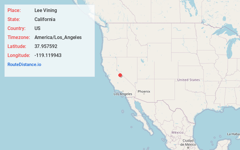
Location Information
-
Full AddressLee Vining, CA 93541
-
Coordinates37.957592, -119.119943
-
LocationLee Vining , California , US
-
TimezoneAmerica/Los_Angeles
-
Current Local Time4:55:55 PM America/Los_AngelesWednesday, June 25, 2025
-
Page Views0
About Lee Vining
Lee Vining is an unincorporated community and census-designated place in Mono County, California, United States. It is located 25 miles south-southeast of Bridgeport. Lee Vining is located on the southwest shore of Mono Lake. The population was 217 as of the 2020 census.


Nearby Places
Found 5 places within 50 miles

Mammoth Lakes
22.8 mi
36.7 km
Mammoth Lakes, CA 93546
Get directions

Yosemite Valley
29.7 mi
47.8 km
Yosemite Valley, CA 95389
Get directions

Lake Crowley
32.2 mi
51.8 km
Lake Crowley, California
Get directions

Round Valley
47.2 mi
76.0 km
Round Valley, CA 93514
Get directions

Hawthorne
47.5 mi
76.4 km
Hawthorne, NV 89415
Get directions
Location Links
Local Weather
Weather Information
Coming soon!
Location Map
Static map view of Lee Vining, California
Browse Places by Distance
Places within specific distances from Lee Vining
Short Distances
Long Distances
Click any distance to see all places within that range from Lee Vining. Distances shown in miles (1 mile ≈ 1.61 kilometers).