Distance to Leeds, Massachusetts

Calculating Your Route
Just a moment while we process your request...
Location Information
-
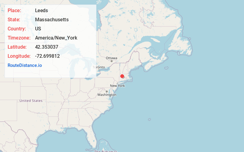
Full AddressLeeds, Northampton, MA 01053
-
Coordinates42.353037, -72.6998119
-
NeighborhoodLeeds
-
LocationNorthampton , Massachusetts , US
-
TimezoneAmerica/New_York
-
Current Local Time2:41:12 AM America/New_YorkThursday, July 3, 2025
-
Page Views0
About Leeds
Leeds is a village in the western portion of the city of Northampton, Massachusetts, United States, bordering Williamsburg—along the Mill River—and Florence. The ZIP Code for Leeds is 01053.
Nearby Places
Found 10 places within 50 miles

Williamsburg Station
2.5 mi
4.0 km
Williamsburg Station, Williamsburg, MA 01039
Get directions

Williamsburg
3.2 mi
5.1 km
Williamsburg, MA
Get directions

Northampton
3.6 mi
5.8 km
Northampton, MA
Get directions
Pine Grove
3.8 mi
6.1 km
Pine Grove, Northampton, MA 01062
Get directions
Searsville
4.0 mi
6.4 km
Searsville, Williamsburg, MA 01096
Get directions
Westhampton
5.1 mi
8.2 km
Westhampton, MA 01027
Get directions

Hatfield
5.5 mi
8.9 km
Hatfield, MA
Get directions
Westbrook
5.5 mi
8.9 km
Westbrook, Hatfield, MA 01088
Get directions

Hadley
5.7 mi
9.2 km
Hadley, MA
Get directions

Easthampton
6.2 mi
10.0 km
Easthampton, MA
Get directions
Location Links
Local Weather
Weather Information
Coming soon!
Location Map
Static map view of Leeds, Massachusetts
Browse Places by Distance
Places within specific distances from Leeds
Short Distances
Long Distances
Click any distance to see all places within that range from Leeds. Distances shown in miles (1 mile ≈ 1.61 kilometers).