Distance to Leeds, South Carolina

Calculating Your Route
Just a moment while we process your request...
Location Information
-
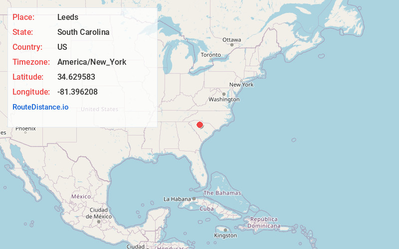
Full AddressLeeds, SC 29031
-
Coordinates34.6295832, -81.3962076
-
LocationLeeds , South Carolina , US
-
TimezoneAmerica/New_York
-
Current Local Time6:57:45 AM America/New_YorkWednesday, June 18, 2025
-
Page Views0
About Leeds
Leeds is an unincorporated community in southwestern Chester County, South Carolina, in the Piedmont of South Carolina. Leeds is a small unincorporated community located at an elevation of around 387 feet.

Nearby Places
Found 10 places within 50 miles

Sandy River
4.4 mi
7.1 km
Sandy River, SC 29706
Get directions
Carlisle
4.5 mi
7.2 km
Carlisle, SC 29031
Get directions
Cool Branch
5.6 mi
9.0 km
Cool Branch, SC 29015
Get directions
Wilksburg
8.0 mi
12.9 km
Wilksburg, SC 29031
Get directions
Tuckertown
8.8 mi
14.2 km
Tuckertown, SC 29031
Get directions
Herbert
8.9 mi
14.3 km
Herbert, SC 29031
Get directions
Feasterville
9.0 mi
14.5 km
Feasterville, SC 29015
Get directions
Shelton
9.2 mi
14.8 km
Shelton, SC 29015
Get directions
Gayle Mill
10.2 mi
16.4 km
Gayle Mill, SC 29706
Get directions
Carem
10.9 mi
17.5 km
Carem, SC 29379
Get directions
Location Links
Local Weather
Weather Information
Coming soon!
Location Map
Static map view of Leeds, South Carolina
Browse Places by Distance
Places within specific distances from Leeds
Short Distances
Long Distances
Click any distance to see all places within that range from Leeds. Distances shown in miles (1 mile ≈ 1.61 kilometers).