Distance to Lees Crossing, Georgia

Calculating Your Route
Just a moment while we process your request...
Location Information
-
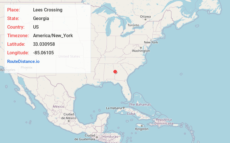
Full AddressLees Crossing, LaGrange, GA 30240
-
Coordinates33.0309576, -85.0610499
-
LocationLaGrange , Georgia , US
-
TimezoneAmerica/New_York
-
Current Local Time4:04:30 AM America/New_YorkThursday, May 22, 2025
-
Page Views0
Nearby Places
Found 10 places within 50 miles

LaGrange
1.7 mi
2.7 km
LaGrange, GA
Get directions

Long Cane Creek
4.4 mi
7.1 km
Long Cane Creek, Georgia
Get directions
Cannonville
5.1 mi
8.2 km
Cannonville, GA 30240
Get directions
Gray Hill
7.4 mi
11.9 km
Gray Hill, GA 31833
Get directions
Louise
8.1 mi
13.0 km
Louise, GA 30230
Get directions
Baughs Crossroads
8.3 mi
13.4 km
Baughs Crossroads, GA 30241
Get directions
Mountville
10.5 mi
16.9 km
Mountville, GA 30241
Get directions
Cottons Crossroads
11.1 mi
17.9 km
Cottons Crossroads, GA 31833
Get directions
Standing Rock
11.3 mi
18.2 km
Standing Rock, AL 36855
Get directions
Glenn
11.8 mi
19.0 km
Glenn, GA
Get directions
Location Links
Local Weather
Weather Information
Coming soon!
Location Map
Static map view of Lees Crossing, Georgia
Browse Places by Distance
Places within specific distances from Lees Crossing
Short Distances
Long Distances
Click any distance to see all places within that range from Lees Crossing. Distances shown in miles (1 mile ≈ 1.61 kilometers).