Distance to Leesburg, Georgia

Calculating Your Route
Just a moment while we process your request...
Location Information
-
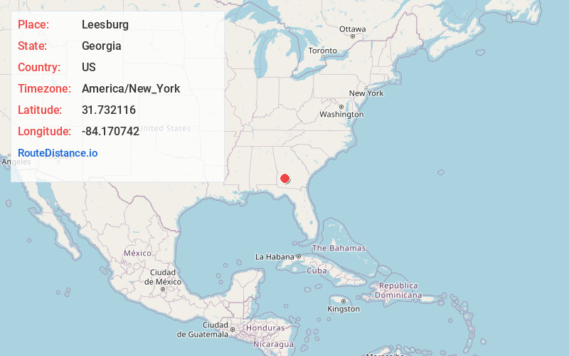
Full AddressLeesburg, GA 31763
-
Coordinates31.7321156, -84.1707423
-
LocationLeesburg , Georgia , US
-
TimezoneAmerica/New_York
-
Current Local Time1:36:42 AM America/New_YorkFriday, June 20, 2025
-
Page Views0
About Leesburg
Leesburg is a city in and the county seat of Lee County, Georgia, United States. The population was 3,480 at the 2020 census, up from 2,896 at the 2010 census. It is part of the Albany, Georgia metropolitan statistical area.


Nearby Places
Found 9 places within 50 miles

Albany
10.7 mi
17.2 km
Albany, GA
Get directions

Dawson
16.5 mi
26.6 km
Dawson, GA 39842
Get directions

Americus
23.8 mi
38.3 km
Americus, GA
Get directions

Sylvester
24.1 mi
38.8 km
Sylvester, GA 31791
Get directions

Cordele
27.8 mi
44.7 km
Cordele, GA 31015
Get directions

Ashburn
30.5 mi
49.1 km
Ashburn, GA 31714
Get directions

Camilla
34.7 mi
55.8 km
Camilla, GA 31730
Get directions

Tifton
43.4 mi
69.8 km
Tifton, GA
Get directions

Moultrie
44.3 mi
71.3 km
Moultrie, GA
Get directions
Location Links
Local Weather
Weather Information
Coming soon!
Location Map
Static map view of Leesburg, Georgia
Browse Places by Distance
Places within specific distances from Leesburg
Short Distances
Long Distances
Click any distance to see all places within that range from Leesburg. Distances shown in miles (1 mile ≈ 1.61 kilometers).