Distance to Lefor, North Dakota

Calculating Your Route
Just a moment while we process your request...
Location Information
-
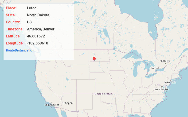
Full AddressLefor, ND 58641
-
Coordinates46.6816723, -102.5596183
-
LocationLefor , North Dakota , US
-
TimezoneAmerica/Denver
-
Current Local Time1:26:31 AM America/DenverThursday, June 19, 2025
-
Page Views0
About Lefor
Lefor is an unincorporated community in southern Stark County, North Dakota, United States. It lies southeast of the city of Dickinson, the county seat of Stark County. Its elevation is 2,592 feet. Lefor's post office closed November 2, 2002, but the town still has its own ZIP code of 58641.
Nearby Places
Found 10 places within 50 miles

Gladstone
12.4 mi
20.0 km
Gladstone, ND 58630
Get directions

Lehigh
14.4 mi
23.2 km
Lehigh, ND 58601
Get directions

Taylor
16.4 mi
26.4 km
Taylor, ND 58656
Get directions
Havelock
16.8 mi
27.0 km
Havelock, ND 58647
Get directions

Dickinson
17.5 mi
28.2 km
Dickinson, ND 58601
Get directions

New England
17.7 mi
28.5 km
New England, ND 58647
Get directions

Regent
18.0 mi
29.0 km
Regent, ND 58650
Get directions

Richardton
18.1 mi
29.1 km
Richardton, ND
Get directions

Antelope
20.7 mi
33.3 km
Antelope, ND 58652
Get directions
South Heart
24.0 mi
38.6 km
South Heart, ND
Get directions
Location Links
Local Weather
Weather Information
Coming soon!
Location Map
Static map view of Lefor, North Dakota
Browse Places by Distance
Places within specific distances from Lefor
Short Distances
Long Distances
Click any distance to see all places within that range from Lefor. Distances shown in miles (1 mile ≈ 1.61 kilometers).