Distance to Left Hand, West Virginia

Calculating Your Route
Just a moment while we process your request...
Location Information
-
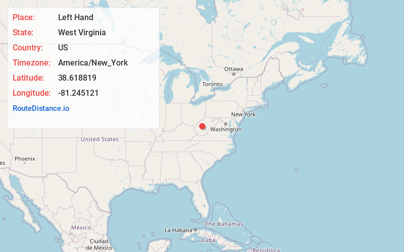
Full AddressLeft Hand, WV 25251
-
Coordinates38.6188185, -81.2451213
-
LocationLeft Hand , West Virginia , US
-
TimezoneAmerica/New_York
-
Current Local Time8:57:09 PM America/New_YorkWednesday, June 25, 2025
-
Page Views0
About Left Hand
Left Hand is an unincorporated community in southeastern Roane County, West Virginia, United States. It lies along West Virginia Route 36 southeast of the city of Spencer, the county seat of Roane County. Its post office is still active.
The community was named after nearby Lefthand Run creek.
Nearby Places
Found 10 places within 50 miles

Amma
3.6 mi
5.8 km
Amma, WV 25005
Get directions
Harley
3.8 mi
6.1 km
Harley, WV 25286
Get directions
Clio
4.0 mi
6.4 km
Clio, WV 25045
Get directions
Newton
4.1 mi
6.6 km
Newton, WV 25266
Get directions
Looneyville
4.4 mi
7.1 km
Looneyville, WV 25259
Get directions
Roxalana
5.2 mi
8.4 km
Roxalana, WV 25259
Get directions
Uler
5.5 mi
8.9 km
Uler, WV 25266
Get directions
Pigeon
6.0 mi
9.7 km
Pigeon, WV 25164
Get directions
Osbornes Mills
6.2 mi
10.0 km
Osbornes Mills, WV 25045
Get directions
Oka
6.4 mi
10.3 km
Oka, WV 25235
Get directions
Location Links
Local Weather
Weather Information
Coming soon!
Location Map
Static map view of Left Hand, West Virginia
Browse Places by Distance
Places within specific distances from Left Hand
Short Distances
Long Distances
Click any distance to see all places within that range from Left Hand. Distances shown in miles (1 mile ≈ 1.61 kilometers).