Distance to and from Leggett, North Carolina
Leggett, NC 27886
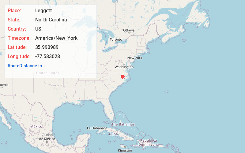
Leggett
North Carolina
US
America/New_York
Location Information
-
Full AddressLeggett, NC 27886
-
Coordinates35.9909889, -77.5830284
-
LocationLeggett , North Carolina , US
-
TimezoneAmerica/New_York
-
Current Local Time10:41:16 PM America/New_YorkSaturday, May 3, 2025
-
Page Views0
Directions to Nearest Cities
About Leggett
Leggett is a town in Edgecombe County, North Carolina, United States. It is part of the Rocky Mount, North Carolina Metropolitan Statistical Area. The population was 37 in the 2020 Census.
Nearby Places
Found 10 places within 50 miles

Tarboro
7.0 mi
11.3 km
Tarboro, NC 27886
Get directions

Princeville
7.6 mi
12.2 km
Princeville, NC 27886
Get directions

Speed
7.9 mi
12.7 km
Speed, NC
Get directions
Hobgood
10.7 mi
17.2 km
Hobgood, NC 27843
Get directions
Whitakers
10.7 mi
17.2 km
Whitakers, NC 27891
Get directions

Rocky Mount
12.2 mi
19.6 km
Rocky Mount, NC
Get directions

Scotland Neck
13.2 mi
21.2 km
Scotland Neck, NC 27874
Get directions

Enfield
13.9 mi
22.4 km
Enfield, NC 27823
Get directions

Conetoe
14.0 mi
22.5 km
Conetoe, NC
Get directions

Pinetops
14.3 mi
23.0 km
Pinetops, NC 27864
Get directions
Tarboro
7.0 mi
11.3 km
Tarboro, NC 27886
Princeville
7.6 mi
12.2 km
Princeville, NC 27886
Speed
7.9 mi
12.7 km
Speed, NC
Hobgood
10.7 mi
17.2 km
Hobgood, NC 27843
Whitakers
10.7 mi
17.2 km
Whitakers, NC 27891
Rocky Mount
12.2 mi
19.6 km
Rocky Mount, NC
Scotland Neck
13.2 mi
21.2 km
Scotland Neck, NC 27874
Enfield
13.9 mi
22.4 km
Enfield, NC 27823
Conetoe
14.0 mi
22.5 km
Conetoe, NC
Pinetops
14.3 mi
23.0 km
Pinetops, NC 27864
Location Links
Local Weather
Weather Information
Coming soon!
Location Map
Static map view of Leggett, North Carolina
Browse Places by Distance
Places within specific distances from Leggett
Short Distances
Long Distances
Click any distance to see all places within that range from Leggett. Distances shown in miles (1 mile ≈ 1.61 kilometers).