Distance to Lehigh, Kansas

Calculating Your Route
Just a moment while we process your request...
Location Information
-
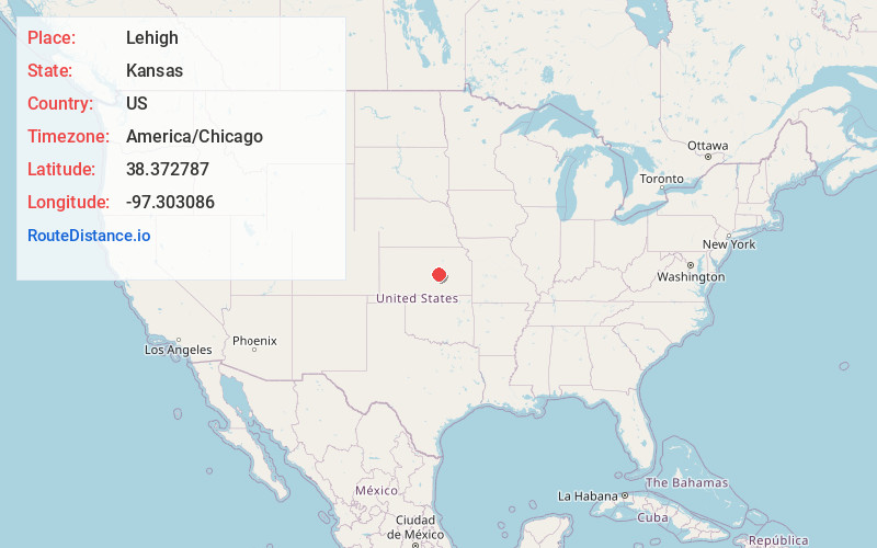
Full AddressLehigh, KS 67073
-
Coordinates38.3727872, -97.3030858
-
LocationLehigh , Kansas , US
-
TimezoneAmerica/Chicago
-
Current Local Time1:40:02 PM America/ChicagoTuesday, June 24, 2025
-
Website
-
Page Views0
About Lehigh
Lehigh is a city in Marion County, Kansas, United States. As of the 2020 census, the population of the city was 161. It is located between Hillsboro and Canton on the north side of U.S. Route 56.
Nearby Places
Found 10 places within 50 miles

Hillsboro
5.5 mi
8.9 km
Hillsboro, KS 67063
Get directions

Canton
6.8 mi
10.9 km
Canton, KS 67428
Get directions

Goessel
9.1 mi
14.6 km
Goessel, KS
Get directions
Galva
12.7 mi
20.4 km
Galva, KS 67443
Get directions

Marion
15.6 mi
25.1 km
Marion, KS 66861
Get directions
Moundridge
16.6 mi
26.7 km
Moundridge, KS 67107
Get directions

Peabody
17.6 mi
28.3 km
Peabody, KS 66866
Get directions

Hesston
17.6 mi
28.3 km
Hesston, KS 67062
Get directions

Walton
17.8 mi
28.6 km
Walton, KS
Get directions

McPherson
19.6 mi
31.5 km
McPherson, KS 67460
Get directions
Location Links
Local Weather
Weather Information
Coming soon!
Location Map
Static map view of Lehigh, Kansas
Browse Places by Distance
Places within specific distances from Lehigh
Short Distances
Long Distances
Click any distance to see all places within that range from Lehigh. Distances shown in miles (1 mile ≈ 1.61 kilometers).