Distance to and from Leland, Florida
Leland, FL 32350
Florida
US
America/New_York
Location Information
-
Full AddressLeland, FL 32350
-
Coordinates30.6104854, -83.3254262
-
LocationFlorida , US
-
TimezoneAmerica/New_York
-
Current Local Time2:26:17 AM America/New_YorkSunday, May 4, 2025
-
Page Views0
Directions to Nearest Cities
Nearby Places
Found 10 places within 50 miles

Clyattville
5.6 mi
9.0 km
Clyattville, GA 31601
Get directions

Cherry Lake
6.3 mi
10.1 km
Cherry Lake, FL 32340
Get directions
Briggston
7.8 mi
12.6 km
Briggston, GA 31601
Get directions
Octahatchee
8.3 mi
13.4 km
Octahatchee, FL 32053
Get directions

Twin Lakes
9.3 mi
15.0 km
Twin Lakes, GA 31636
Get directions
Nankin
9.3 mi
15.0 km
Nankin, GA 31643
Get directions

Lake Park
9.9 mi
15.9 km
Lake Park, GA 31636
Get directions

Madison
11.1 mi
17.9 km
Madison, FL 32340
Get directions

Dasher
11.6 mi
18.7 km
Dasher, GA
Get directions

Lee
13.3 mi
21.4 km
Lee, FL 32059
Get directions
Clyattville
5.6 mi
9.0 km
Clyattville, GA 31601
Cherry Lake
6.3 mi
10.1 km
Cherry Lake, FL 32340
Briggston
7.8 mi
12.6 km
Briggston, GA 31601
Octahatchee
8.3 mi
13.4 km
Octahatchee, FL 32053
Twin Lakes
9.3 mi
15.0 km
Twin Lakes, GA 31636
Nankin
9.3 mi
15.0 km
Nankin, GA 31643
Lake Park
9.9 mi
15.9 km
Lake Park, GA 31636
Madison
11.1 mi
17.9 km
Madison, FL 32340
Dasher
11.6 mi
18.7 km
Dasher, GA
Lee
13.3 mi
21.4 km
Lee, FL 32059
Location Links
Local Weather
Weather Information
Coming soon!
Location Map
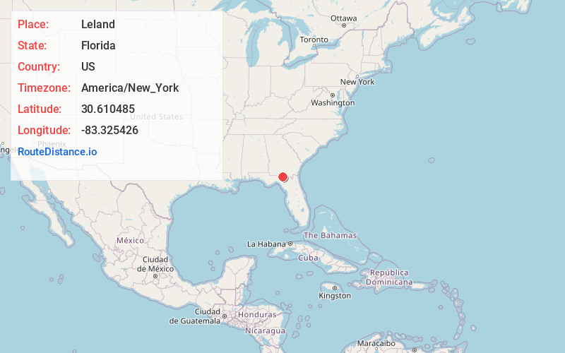
Static map view of Leland, Florida
Browse Places by Distance
Places within specific distances from Leland
Short Distances
Long Distances
Click any distance to see all places within that range from Leland. Distances shown in miles (1 mile ≈ 1.61 kilometers).