Distance to Leland, Mississippi

Calculating Your Route
Just a moment while we process your request...
Location Information
-
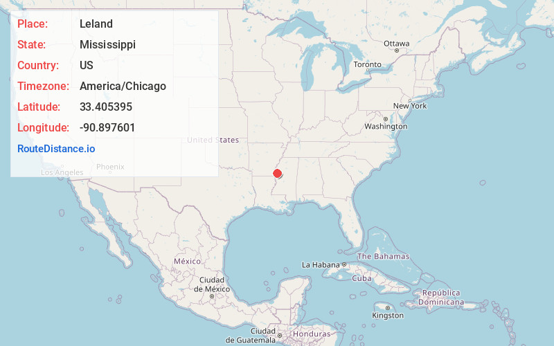
Full AddressLeland, MS 38756
-
Coordinates33.4053949, -90.8976007
-
LocationLeland , Mississippi , US
-
TimezoneAmerica/Chicago
-
Current Local Time12:56:42 PM America/ChicagoThursday, June 5, 2025
-
Website
-
Page Views0
About Leland
Leland is a city in Washington County, Mississippi, United States. It is located within the Mississippi Delta, on the banks of Deer Creek. The population was 4,481 at the 2010 census. It was once a railway town and had long been a center of cotton culture, which is still an important commodity crop in the rural area.


Nearby Places
Found 7 places within 50 miles

Greenville
8.1 mi
13.0 km
Greenville, MS
Get directions

Indianola
14.3 mi
23.0 km
Indianola, MS 38751
Get directions

Cleveland
25.4 mi
40.9 km
Cleveland, MS 38732
Get directions

McGehee
31.4 mi
50.5 km
McGehee, AR 71654
Get directions

Greenwood
42.1 mi
67.8 km
Greenwood, MS
Get directions

Dumas
47.2 mi
76.0 km
Dumas, AR
Get directions

Yazoo City
47.5 mi
76.4 km
Yazoo City, MS 39194
Get directions
Location Links
Local Weather
Weather Information
Coming soon!
Location Map
Static map view of Leland, Mississippi
Browse Places by Distance
Places within specific distances from Leland
Short Distances
Long Distances
Click any distance to see all places within that range from Leland. Distances shown in miles (1 mile ≈ 1.61 kilometers).