Distance to Leland, Arkansas

Calculating Your Route
Just a moment while we process your request...
Location Information
-
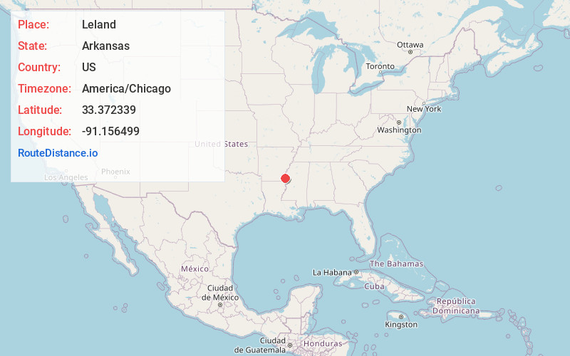
Full AddressLeland, AR 71653
-
Coordinates33.3723385, -91.1564988
-
LocationArkansas , US
-
TimezoneAmerica/Chicago
-
Current Local Time11:29:33 AM America/ChicagoSaturday, May 31, 2025
-
Page Views0
Nearby Places
Found 10 places within 50 miles

Yellow Bayou
6.1 mi
9.8 km
Yellow Bayou, AR 71653
Get directions

Greenville
7.1 mi
11.4 km
Greenville, MS
Get directions
Lakehall
7.3 mi
11.7 km
Lakehall, AR 71653
Get directions

Lake Village
7.9 mi
12.7 km
Lake Village, AR 71653
Get directions
Fairview
8.6 mi
13.8 km
Fairview, AR 71653
Get directions
Metcalfe
10.3 mi
16.6 km
Metcalfe, MS
Get directions
Lakeport
10.3 mi
16.6 km
Lakeport, AR 71653
Get directions
Winterville
10.6 mi
17.1 km
Winterville, MS 38703
Get directions
Jennie
11.0 mi
17.7 km
Jennie, AR 71653
Get directions
Ashton
11.3 mi
18.2 km
Ashton, AR 71653
Get directions
Location Links
Local Weather
Weather Information
Coming soon!
Location Map
Static map view of Leland, Arkansas
Browse Places by Distance
Places within specific distances from Leland
Short Distances
Long Distances
Click any distance to see all places within that range from Leland. Distances shown in miles (1 mile ≈ 1.61 kilometers).