Distance to Lelavale, Texas

Calculating Your Route
Just a moment while we process your request...
Location Information
-
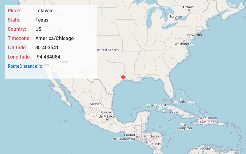
Full AddressLelavale, TX 77625
-
Coordinates30.403541, -94.4840843
-
LocationTexas , US
-
TimezoneAmerica/Chicago
-
Current Local Time7:43:16 AM America/ChicagoMonday, June 16, 2025
-
Page Views0
Nearby Places
Found 10 places within 50 miles

Saratoga
8.7 mi
14.0 km
Saratoga, TX
Get directions

Wildwood
8.7 mi
14.0 km
Wildwood, TX
Get directions
Thicket
8.7 mi
14.0 km
Thicket, TX 77374
Get directions

Kountze
10.5 mi
16.9 km
Kountze, TX 77625
Get directions
Batson
12.9 mi
20.8 km
Batson, TX 77519
Get directions

Warren
15.3 mi
24.6 km
Warren, TX 77664
Get directions
Holly Grove
15.5 mi
24.9 km
Holly Grove, TX 77351
Get directions
Segno
17.0 mi
27.4 km
Segno, TX 77351
Get directions

Silsbee
18.6 mi
29.9 km
Silsbee, TX 77656
Get directions

Sour Lake
18.7 mi
30.1 km
Sour Lake, TX 77659
Get directions
Location Links
Local Weather
Weather Information
Coming soon!
Location Map
Static map view of Lelavale, Texas
Browse Places by Distance
Places within specific distances from Lelavale
Short Distances
Long Distances
Click any distance to see all places within that range from Lelavale. Distances shown in miles (1 mile ≈ 1.61 kilometers).