Distance to Lemon Cove, California

Calculating Your Route
Just a moment while we process your request...
Location Information
-
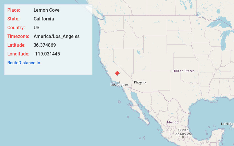
Full AddressLemon Cove, CA
-
Coordinates36.3748689, -119.0314451
-
LocationLemon Cove , California , US
-
TimezoneAmerica/Los_Angeles
-
Current Local Time5:06:29 AM America/Los_AngelesThursday, July 3, 2025
-
Page Views0
About Lemon Cove
Lemon Cove is a census-designated place in Tulare County, California, United States. It is situated in the San Joaquin Valley near the foothills of the Sierra Nevada. The population was 308 at the 2010 census, up from 298 at the 2000 census.


Nearby Places
Found 10 places within 50 miles

Woodlake
4.6 mi
7.4 km
Woodlake, CA 93286
Get directions

Exeter
8.2 mi
13.2 km
Exeter, CA 93221
Get directions

Three Rivers
8.3 mi
13.4 km
Three Rivers, CA 93271
Get directions

Ivanhoe
10.4 mi
16.7 km
Ivanhoe, CA
Get directions

Farmersville
11.1 mi
17.9 km
Farmersville, CA
Get directions

Linnell Camp
11.6 mi
18.7 km
Linnell Camp, CA 93292
Get directions

Lindsay
12.3 mi
19.8 km
Lindsay, CA 93247
Get directions

Patterson Tract
14.8 mi
23.8 km
Patterson Tract, CA 93291
Get directions

Visalia
15.1 mi
24.3 km
Visalia, CA
Get directions

Strathmore
15.9 mi
25.6 km
Strathmore, CA 93267
Get directions
Location Links
Local Weather
Weather Information
Coming soon!
Location Map
Static map view of Lemon Cove, California
Browse Places by Distance
Places within specific distances from Lemon Cove
Short Distances
Long Distances
Click any distance to see all places within that range from Lemon Cove. Distances shown in miles (1 mile ≈ 1.61 kilometers).