Distance to Leneve, Oregon

Calculating Your Route
Just a moment while we process your request...
Location Information
-
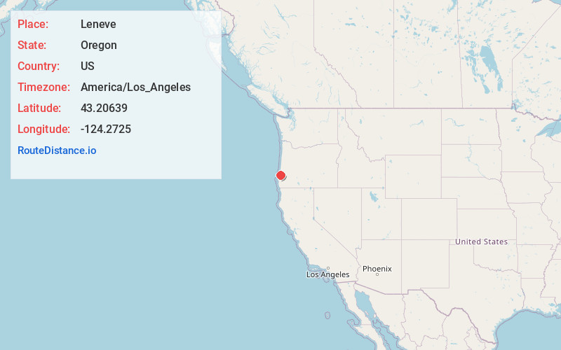
Full AddressLeneve, OR 97423
-
Coordinates43.20639, -124.2724999
-
LocationLeneve , Oregon , US
-
TimezoneAmerica/Los_Angeles
-
Current Local Time3:33:22 PM America/Los_AngelesSaturday, June 21, 2025
-
Page Views0
About Leneve
Leneve is an unincorporated community in Coos County, Oregon, United States. It lies along North Bank Road off Oregon Route 42 northeast of Coquille. Beaver Slough enters the Coquille River at Leneve.
Named after a pioneer family, its post office operated from April 5, 1917, to May 31, 1934.
Nearby Places
Found 10 places within 50 miles

Coaledo
2.7 mi
4.3 km
Coaledo, OR 97420
Get directions
Riverton
3.4 mi
5.5 km
Riverton, OR 97423
Get directions

Coquille
4.7 mi
7.6 km
Coquille, OR 97423
Get directions
Green Acres
4.9 mi
7.9 km
Green Acres, OR 97420
Get directions
Southport Mine
7.1 mi
11.4 km
Southport Mine, Oregon 97420
Get directions
Bullards
7.3 mi
11.7 km
Bullards, OR 97411
Get directions
Sumner
8.0 mi
12.9 km
Sumner, OR 97420
Get directions

Arago
8.3 mi
13.4 km
Arago, OR 97458
Get directions
Crown Point
8.7 mi
14.0 km
Crown Point, OR 97420
Get directions

Bandon
9.1 mi
14.6 km
Bandon, OR 97411
Get directions
Location Links
Local Weather
Weather Information
Coming soon!
Location Map
Static map view of Leneve, Oregon
Browse Places by Distance
Places within specific distances from Leneve
Short Distances
Long Distances
Click any distance to see all places within that range from Leneve. Distances shown in miles (1 mile ≈ 1.61 kilometers).