Distance to Lennox, South Dakota

Calculating Your Route
Just a moment while we process your request...
Location Information
-
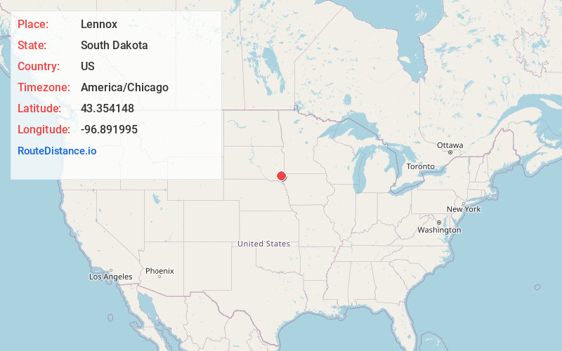
Full AddressLennox, SD 57039
-
Coordinates43.3541476, -96.8919951
-
LocationLennox , South Dakota , US
-
TimezoneAmerica/Chicago
-
Current Local Time2:12:20 PM America/ChicagoSaturday, May 31, 2025
-
Page Views0
About Lennox
Lennox is a city in Lincoln County, South Dakota, United States, located 20 miles southwest of Sioux Falls. The population was 2,423 at the 2020 census.

Nearby Places
Found 10 places within 50 miles

Tea
7.0 mi
11.3 km
Tea, SD 57064
Get directions

Harrisburg
11.1 mi
17.9 km
Harrisburg, SD
Get directions

Canton
15.5 mi
24.9 km
Canton, SD 57013
Get directions

Sioux Falls
15.5 mi
24.9 km
Sioux Falls, SD
Get directions

Hartford
18.8 mi
30.3 km
Hartford, SD 57033
Get directions

Brandon
23.1 mi
37.2 km
Brandon, SD 57005
Get directions

Rock Valley
31.7 mi
51.0 km
Rock Valley, IA 51247
Get directions

Hawarden
32.0 mi
51.5 km
Hawarden, IA 51023
Get directions

Dell Rapids
33.9 mi
54.6 km
Dell Rapids, SD 57022
Get directions

Rock Rapids
36.3 mi
58.4 km
Rock Rapids, IA 51246
Get directions
Location Links
Local Weather
Weather Information
Coming soon!
Location Map
Static map view of Lennox, South Dakota
Browse Places by Distance
Places within specific distances from Lennox
Short Distances
Long Distances
Click any distance to see all places within that range from Lennox. Distances shown in miles (1 mile ≈ 1.61 kilometers).