Distance to Lenox, Georgia

Calculating Your Route
Just a moment while we process your request...
Location Information
-
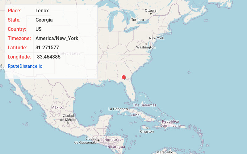
Full AddressLenox, GA 31637
-
Coordinates31.2715768, -83.4648845
-
LocationLenox , Georgia , US
-
TimezoneAmerica/New_York
-
Current Local Time7:37:24 AM America/New_YorkThursday, June 5, 2025
-
Page Views0
About Lenox
Lenox is a town in Cook County, Georgia, United States. The population was 752 at the 2020 census.


Nearby Places
Found 10 places within 50 miles

Sparks
7.4 mi
11.9 km
Sparks, GA
Get directions

Omega
9.1 mi
14.6 km
Omega, GA 31775
Get directions

Adel
9.6 mi
15.4 km
Adel, GA 31620
Get directions
Unionville
11.6 mi
18.7 km
Unionville, GA 31794
Get directions

Enigma
12.6 mi
20.3 km
Enigma, GA 31749
Get directions

Tifton
12.8 mi
20.6 km
Tifton, GA
Get directions

Norman Park
13.1 mi
21.1 km
Norman Park, GA 31771
Get directions
Nashville
13.4 mi
21.6 km
Nashville, GA 31639
Get directions

Hahira
20.1 mi
32.3 km
Hahira, GA 31632
Get directions

Moultrie
20.2 mi
32.5 km
Moultrie, GA
Get directions
Location Links
Local Weather
Weather Information
Coming soon!
Location Map
Static map view of Lenox, Georgia
Browse Places by Distance
Places within specific distances from Lenox
Short Distances
Long Distances
Click any distance to see all places within that range from Lenox. Distances shown in miles (1 mile ≈ 1.61 kilometers).