Distance to Leona, Oregon

Calculating Your Route
Just a moment while we process your request...
Location Information
-
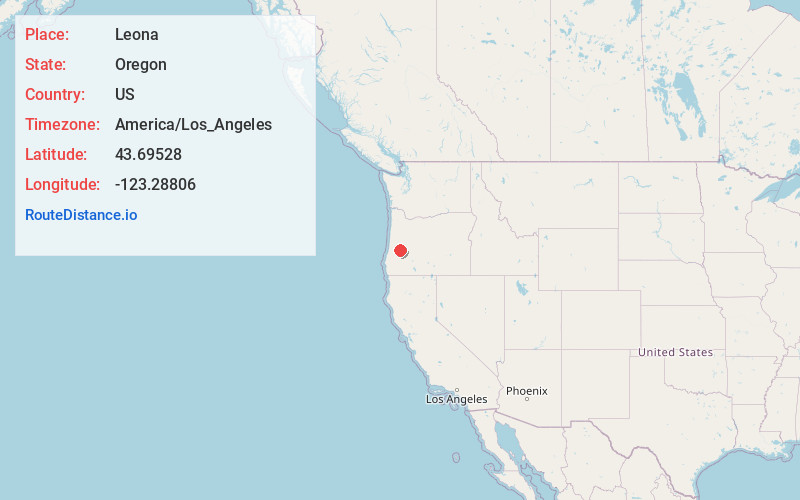
Full AddressLeona, OR 97435
-
Coordinates43.6952799, -123.28806
-
LocationLeona , Oregon , US
-
TimezoneAmerica/Los_Angeles
-
Current Local Time1:14:55 AM America/Los_AngelesThursday, June 19, 2025
-
Page Views0
About Leona
Leona, formerly known as Hudson, is an unincorporated community in Douglas County, Oregon, United States. It was named for Leona Perkins. Its post office was established on February 14, 1901 and Thomas E. Bledsoe was its first postmaster.
Nearby Places
Found 10 places within 50 miles

Drain
3.0 mi
4.8 km
Drain, OR
Get directions

Curtin
4.2 mi
6.8 km
Curtin, OR 97424
Get directions

Comstock
5.9 mi
9.5 km
Comstock, OR 97424
Get directions

Yoncalla
6.7 mi
10.8 km
Yoncalla, OR 97499
Get directions

Lorane
10.1 mi
16.3 km
Lorane, OR 97405
Get directions
Veatch
10.1 mi
16.3 km
Veatch, OR 97424
Get directions
London Springs
10.8 mi
17.4 km
London Springs, OR 97424
Get directions

Rice Hill
10.8 mi
17.4 km
Rice Hill, OR 97462
Get directions

Elkhead
11.9 mi
19.2 km
Elkhead, OR 97499
Get directions
Gap
11.9 mi
19.2 km
Gap, Oregon 97424
Get directions
Location Links
Local Weather
Weather Information
Coming soon!
Location Map
Static map view of Leona, Oregon
Browse Places by Distance
Places within specific distances from Leona
Short Distances
Long Distances
Click any distance to see all places within that range from Leona. Distances shown in miles (1 mile ≈ 1.61 kilometers).