Distance to Leonard, Oklahoma

Calculating Your Route
Just a moment while we process your request...
Location Information
-
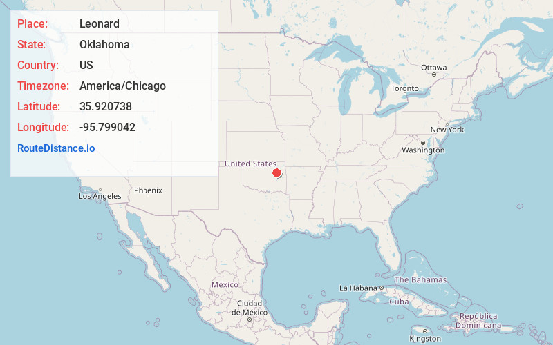
Full AddressLeonard, OK 74008
-
Coordinates35.9207382, -95.7990419
-
LocationLeonard , Oklahoma , US
-
TimezoneAmerica/Chicago
-
Current Local Time12:18:04 PM America/ChicagoFriday, June 20, 2025
-
Page Views0
About Leonard
Leonard is an unincorporated community in the southeastern corner of Tulsa County, Oklahoma, United States. The population at the 2020 U.S. Census was 262, compared to 200 in the 2010 census. It is located on U.S. Route 64 at the Wagoner County line. The town serves the surrounding farming area.
Nearby Places
Found 10 places within 50 miles

Bixby
4.9 mi
7.9 km
Bixby, OK
Get directions

Coweta
8.6 mi
13.8 km
Coweta, OK
Get directions

Broken Arrow
9.7 mi
15.6 km
Broken Arrow, OK
Get directions

Haskell
9.8 mi
15.8 km
Haskell, OK 74436
Get directions

Liberty
10.9 mi
17.5 km
Liberty, OK 74047
Get directions

Jenks
11.8 mi
19.0 km
Jenks, OK
Get directions

Glenpool
12.0 mi
19.3 km
Glenpool, OK
Get directions

Winchester
14.3 mi
23.0 km
Winchester, OK 74421
Get directions

Kiefer
15.0 mi
24.1 km
Kiefer, OK
Get directions

Mounds
15.0 mi
24.1 km
Mounds, OK
Get directions
Location Links
Local Weather
Weather Information
Coming soon!
Location Map
Static map view of Leonard, Oklahoma
Browse Places by Distance
Places within specific distances from Leonard
Short Distances
Long Distances
Click any distance to see all places within that range from Leonard. Distances shown in miles (1 mile ≈ 1.61 kilometers).