Distance to Lester, Washington

Calculating Your Route
Just a moment while we process your request...
Location Information
-
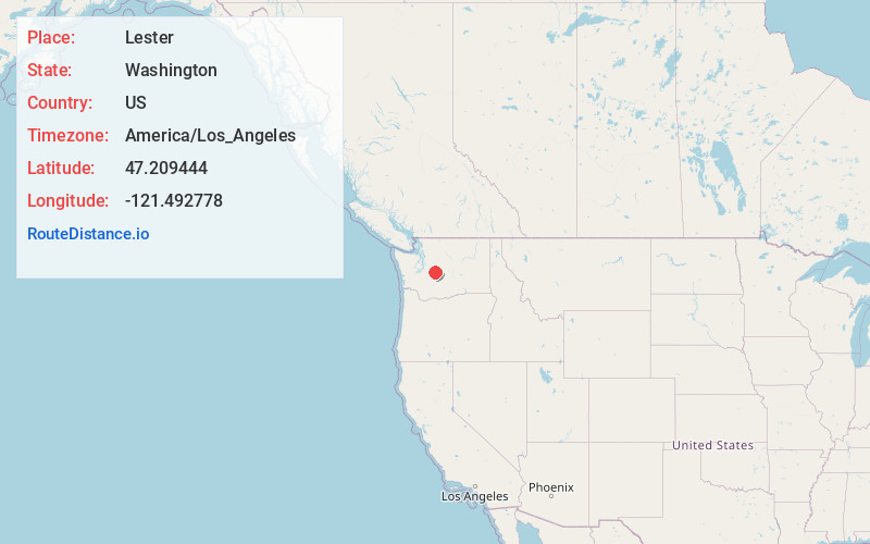
Full AddressLester, WA 98045
-
Coordinates47.209444, -121.492778
-
LocationLester , Washington , US
-
TimezoneAmerica/Los_Angeles
-
Current Local Time8:48:52 AM America/Los_AngelesMonday, May 19, 2025
-
Page Views0
About Lester
Lester is a ghost town near Stampede Pass, just south of Snoqualmie Pass in King County, founded in 1892 by the Northern Pacific Railway. Lester is located along what is currently National Forest Development Road 54, on land now owned by Tacoma Water, a division of Tacoma Public Utilities.


Nearby Places
Found 10 places within 50 miles

Maywood
6.8 mi
10.9 km
Maywood, WA 98022
Get directions
Stampede
7.0 mi
11.3 km
Stampede, WA 98022
Get directions

Greenwater
8.5 mi
13.7 km
Greenwater, WA 98022
Get directions

Martin
9.6 mi
15.4 km
Martin, WA 98925
Get directions
Whittier
9.9 mi
15.9 km
Whittier, WA 98925
Get directions
Humphrey
10.5 mi
16.9 km
Humphrey, WA 98045
Get directions
Snoquera
12.3 mi
19.8 km
Snoquera, WA 98022
Get directions
Bandera
12.4 mi
20.0 km
Bandera, WA 98045
Get directions

Cabin Creek
12.5 mi
20.1 km
Cabin Creek, WA 98925
Get directions
Rockdale
12.8 mi
20.6 km
Rockdale, WA 98045
Get directions
Location Links
Local Weather
Weather Information
Coming soon!
Location Map
Static map view of Lester, Washington
Browse Places by Distance
Places within specific distances from Lester
Short Distances
Long Distances
Click any distance to see all places within that range from Lester. Distances shown in miles (1 mile ≈ 1.61 kilometers).