Distance to Lester, Iowa

Calculating Your Route
Just a moment while we process your request...
Location Information
-
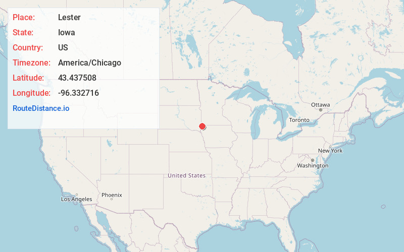
Full AddressLester, IA 51242
-
Coordinates43.4375077, -96.3327156
-
LocationLester , Iowa , US
-
TimezoneAmerica/Chicago
-
Current Local Time8:30:12 PM America/ChicagoFriday, June 6, 2025
-
Page Views0
About Lester
Lester is a city in Lyon County, Iowa, United States. The population was 296 at the time of the 2020 census.
Nearby Places
Found 10 places within 50 miles

Larchwood
5.2 mi
8.4 km
Larchwood, IA 51241
Get directions

Hills
6.5 mi
10.5 km
Hills, MN 56138
Get directions

Rock Rapids
7.9 mi
12.7 km
Rock Rapids, IA 51246
Get directions

Inwood
10.3 mi
16.6 km
Inwood, IA 51240
Get directions

Doon
12.0 mi
19.3 km
Doon, IA 51235
Get directions

Valley Springs
12.1 mi
19.5 km
Valley Springs, SD 57068
Get directions

Anderson Subdivision
15.6 mi
25.1 km
Anderson Subdivision, SD 57110
Get directions
Shindler
16.1 mi
25.9 km
Shindler, SD
Get directions

Canton
16.1 mi
25.9 km
Canton, SD 57013
Get directions

Rock Valley
16.2 mi
26.1 km
Rock Valley, IA 51247
Get directions
Location Links
Local Weather
Weather Information
Coming soon!
Location Map
Static map view of Lester, Iowa
Browse Places by Distance
Places within specific distances from Lester
Short Distances
Long Distances
Click any distance to see all places within that range from Lester. Distances shown in miles (1 mile ≈ 1.61 kilometers).