Distance to Letitia, Kentucky

Calculating Your Route
Just a moment while we process your request...
Location Information
-
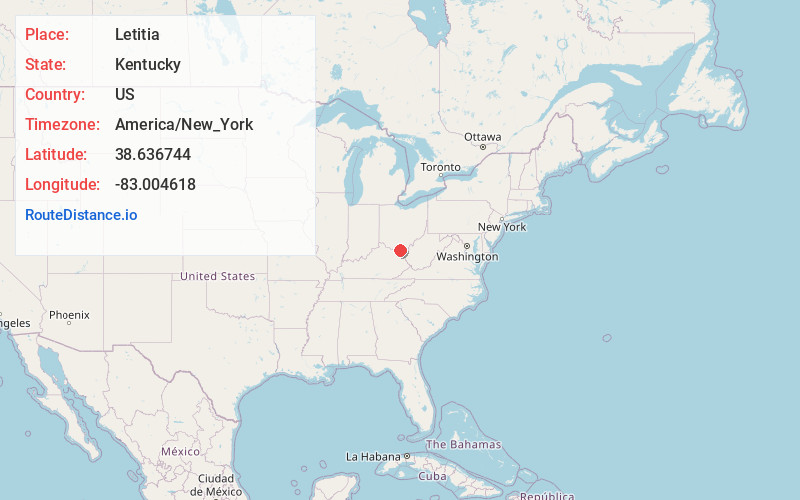
Full AddressLetitia, KY 41175
-
Coordinates38.6367442, -83.0046179
-
LocationKentucky , US
-
TimezoneAmerica/New_York
-
Current Local Time5:50:31 PM America/New_YorkMonday, June 2, 2025
-
Page Views0
Nearby Places
Found 10 places within 50 miles

Firebrick
4.2 mi
6.8 km
Firebrick, KY 41174
Get directions
Kirkville
4.6 mi
7.4 km
Kirkville, KY 41174
Get directions
South Portsmouth
6.1 mi
9.8 km
South Portsmouth, KY 41174
Get directions

South Shore
6.3 mi
10.1 km
South Shore, KY 41175
Get directions
Friendship
6.4 mi
10.3 km
Friendship, OH
Get directions
Load
6.5 mi
10.5 km
Load, KY 41144
Get directions

Portsmouth
6.6 mi
10.6 km
Portsmouth, OH 45662
Get directions
Pond Run
6.8 mi
10.9 km
Pond Run, Nile Township, OH 45684
Get directions
Limeville
8.3 mi
13.4 km
Limeville, KY 41175
Get directions

West Portsmouth
8.5 mi
13.7 km
West Portsmouth, OH 45663
Get directions
Location Links
Local Weather
Weather Information
Coming soon!
Location Map
Static map view of Letitia, Kentucky
Browse Places by Distance
Places within specific distances from Letitia
Short Distances
Long Distances
Click any distance to see all places within that range from Letitia. Distances shown in miles (1 mile ≈ 1.61 kilometers).