Distance to Lettsworth, Louisiana

Calculating Your Route
Just a moment while we process your request...
Location Information
-
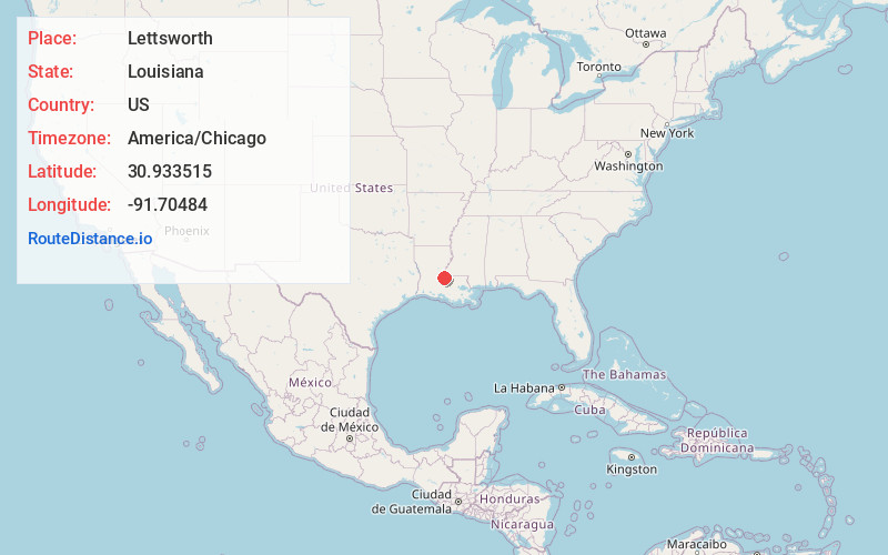
Full AddressLettsworth, LA 70753
-
Coordinates30.9335146, -91.7048402
-
LocationLettsworth , Louisiana , US
-
TimezoneAmerica/Chicago
-
Current Local Time11:49:21 AM America/ChicagoMonday, June 23, 2025
-
Page Views0
About Lettsworth
Lettsworth is an unincorporated community located in the northern tip of Pointe Coupee Parish, Louisiana, United States. It lies on the east bank of the Atchafalaya River near its intersection with the Mississippi and Red rivers at the Old River Control Structure. As of 2005, the population is 202.
Nearby Places
Found 10 places within 50 miles

Keller
1.2 mi
1.9 km
Keller, LA 70753
Get directions
Smithland
2.9 mi
4.7 km
Smithland, LA 70753
Get directions
Williamsport
3.5 mi
5.6 km
Williamsport, LA 70753
Get directions
Torras
4.2 mi
6.8 km
Torras, LA 70753
Get directions
Jacoby
5.2 mi
8.4 km
Jacoby, LA 70753
Get directions
Legonier
6.0 mi
9.7 km
Legonier, LA 70753
Get directions
Odenburg
6.3 mi
10.1 km
Odenburg, LA 71369
Get directions
New California
6.3 mi
10.1 km
New California, LA 70715
Get directions
McCrea
6.5 mi
10.5 km
McCrea, LA 70715
Get directions
Simmesport
6.6 mi
10.6 km
Simmesport, LA 71369
Get directions
Location Links
Local Weather
Weather Information
Coming soon!
Location Map
Static map view of Lettsworth, Louisiana
Browse Places by Distance
Places within specific distances from Lettsworth
Short Distances
Long Distances
Click any distance to see all places within that range from Lettsworth. Distances shown in miles (1 mile ≈ 1.61 kilometers).