Distance to and from Leverett, Massachusetts
Leverett, MA
Leverett
Massachusetts
US
America/New_York
Location Information
-
Full AddressLeverett, MA
-
Coordinates42.4519581, -72.5011335
-
LocationLeverett , Massachusetts , US
-
TimezoneAmerica/New_York
-
Current Local Time7:47:15 AM America/New_YorkTuesday, May 6, 2025
-
Page Views0
Directions to Nearest Cities
About Leverett
Leverett is a town in Franklin County, Massachusetts, United States. The population was 1,865 as of the 2020 census. It is part of the Springfield, Massachusetts Metropolitan Statistical Area.


Nearby Places
Found 10 places within 50 miles

Sunderland
4.1 mi
6.6 km
Sunderland, MA
Get directions

Montague
6.0 mi
9.7 km
Montague, MA
Get directions

Hatfield
7.3 mi
11.7 km
Hatfield, MA
Get directions

Deerfield
8.3 mi
13.4 km
Deerfield, MA
Get directions

Hadley
8.8 mi
14.2 km
Hadley, MA
Get directions

Conway
10.9 mi
17.5 km
Conway, MA
Get directions

Northampton
11.3 mi
18.2 km
Northampton, MA
Get directions

Williamsburg
12.4 mi
20.0 km
Williamsburg, MA
Get directions

Belchertown
12.9 mi
20.8 km
Belchertown, MA 01007
Get directions

Granby
13.5 mi
21.7 km
Granby, MA
Get directions
Sunderland
4.1 mi
6.6 km
Sunderland, MA
Montague
6.0 mi
9.7 km
Montague, MA
Hatfield
7.3 mi
11.7 km
Hatfield, MA
Deerfield
8.3 mi
13.4 km
Deerfield, MA
Hadley
8.8 mi
14.2 km
Hadley, MA
Conway
10.9 mi
17.5 km
Conway, MA
Northampton
11.3 mi
18.2 km
Northampton, MA
Williamsburg
12.4 mi
20.0 km
Williamsburg, MA
Belchertown
12.9 mi
20.8 km
Belchertown, MA 01007
Granby
13.5 mi
21.7 km
Granby, MA
Location Links
Local Weather
Weather Information
Coming soon!
Location Map
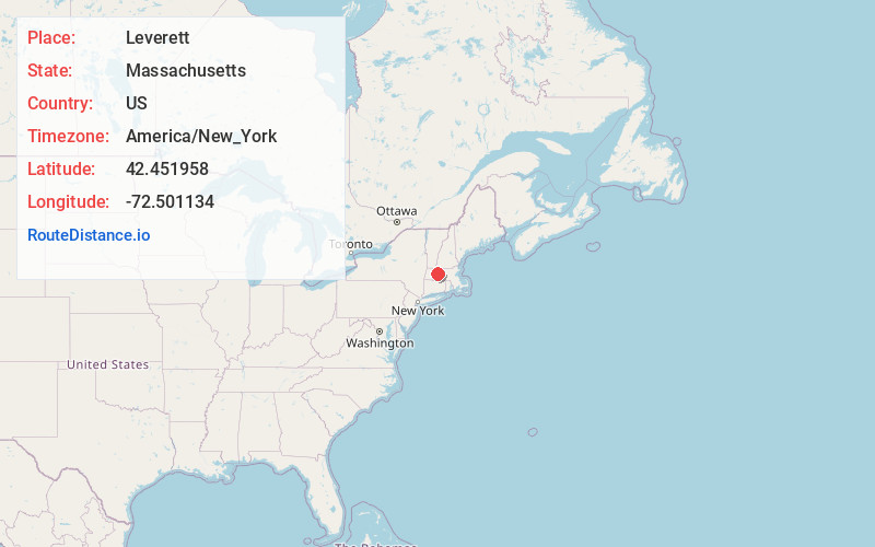
Static map view of Leverett, Massachusetts
Browse Places by Distance
Places within specific distances from Leverett
Short Distances
Long Distances
Click any distance to see all places within that range from Leverett. Distances shown in miles (1 mile ≈ 1.61 kilometers).