Distance to Leverett, Mississippi

Calculating Your Route
Just a moment while we process your request...
Location Information
-
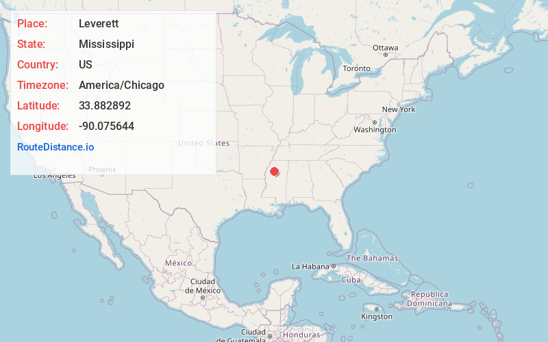
Full AddressLeverett, MS 38920
-
Coordinates33.8828924, -90.0756437
-
LocationLeverett , Mississippi , US
-
TimezoneAmerica/Chicago
-
Current Local Time9:28:48 PM America/ChicagoSunday, June 22, 2025
-
Page Views0
About Leverett
Leverett is an unincorporated community located in Tallahatchie County, Mississippi, United States. Leverett is approximately 3.5 miles south of Paynes, 7.4 miles southeast of Tippo and 5.4 miles northwest of Cascilla.
Leverett is located on Leverett Lane near Mississippi Highway 35.
Leverett has a ZIP code of 38920.
Nearby Places
Found 10 places within 50 miles

Paynes
2.7 mi
4.3 km
Paynes, MS 38920
Get directions
Distall
6.3 mi
10.1 km
Distall, MS 38921
Get directions
Tippo
6.4 mi
10.3 km
Tippo, MS 38921
Get directions
Macel
6.5 mi
10.5 km
Macel, MS 38950
Get directions
Effie
6.8 mi
10.9 km
Effie, MS 38921
Get directions
Rosebloom
7.1 mi
11.4 km
Rosebloom, MS 38920
Get directions
Paul
7.3 mi
11.7 km
Paul, MS 38920
Get directions
Charleston
8.6 mi
13.8 km
Charleston, MS 38921
Get directions
Holcomb
10.2 mi
16.4 km
Holcomb, MS 38940
Get directions

Philipp
11.4 mi
18.3 km
Philipp, MS 38950
Get directions
Location Links
Local Weather
Weather Information
Coming soon!
Location Map
Static map view of Leverett, Mississippi
Browse Places by Distance
Places within specific distances from Leverett
Short Distances
Long Distances
Click any distance to see all places within that range from Leverett. Distances shown in miles (1 mile ≈ 1.61 kilometers).