Distance to Levittown, Pennsylvania

Calculating Your Route
Just a moment while we process your request...
Location Information
-
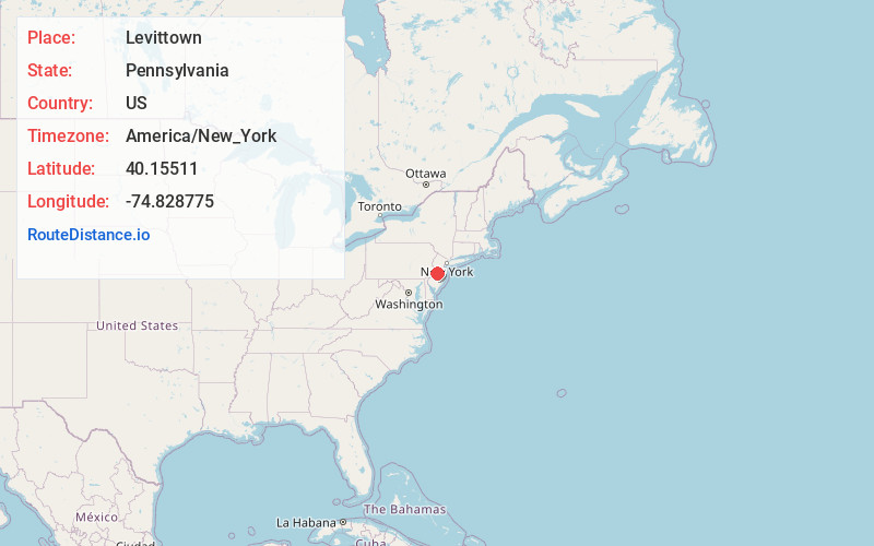
Full AddressLevittown, PA
-
Coordinates40.1551096, -74.8287747
-
LocationLevittown , Pennsylvania , US
-
TimezoneAmerica/New_York
-
Current Local Time1:23:16 PM America/New_YorkWednesday, May 28, 2025
-
Page Views0
About Levittown
Levittown is a census-designated place and planned community in Bucks County, Pennsylvania, United States. It is part of the Philadelphia metropolitan area. The population was 52,699 at the 2020 census, down from 52,983 at the 2010 census.
Levittown is 40 feet above sea level.


Nearby Places
Found 10 places within 50 miles

Trenton
5.6 mi
9.0 km
Trenton, NJ
Get directions

Hamilton Township
7.7 mi
12.4 km
Hamilton Township, NJ
Get directions

Abington Township
15.4 mi
24.8 km
Abington Township, PA
Get directions

Cherry Hill Township
19.2 mi
30.9 km
Cherry Hill Township, NJ
Get directions

Camden
21.2 mi
34.1 km
Camden, NJ
Get directions

Philadelphia
22.6 mi
36.4 km
Philadelphia, PA
Get directions

Gloucester City
23.8 mi
38.3 km
Gloucester City, NJ
Get directions

Lower Merion Township
25.6 mi
41.2 km
Lower Merion Township, PA
Get directions

Haverford
27.1 mi
43.6 km
Haverford, PA
Get directions

Upper Darby Township
27.8 mi
44.7 km
Upper Darby Township, PA
Get directions
Location Links
Local Weather
Weather Information
Coming soon!
Location Map
Static map view of Levittown, Pennsylvania
Browse Places by Distance
Places within specific distances from Levittown
Short Distances
Long Distances
Click any distance to see all places within that range from Levittown. Distances shown in miles (1 mile ≈ 1.61 kilometers).