Distance to Lewinsville, Virginia

Calculating Your Route
Just a moment while we process your request...
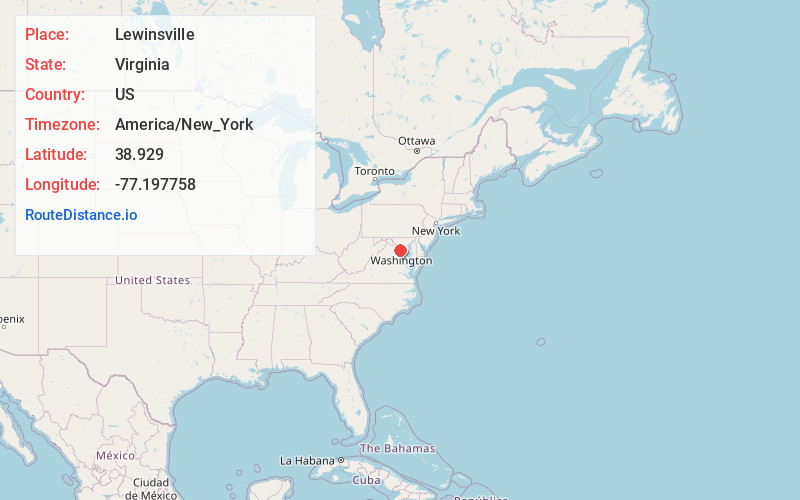
Location Information
-
Full AddressLewinsville, McLean, VA 22102
-
Coordinates38.9289999, -77.1977584
-
LocationMcLean , Virginia , US
-
TimezoneAmerica/New_York
-
Current Local Time6:21:48 AM America/New_YorkThursday, June 5, 2025
-
Page Views0
About Lewinsville
Lewinsville is an unincorporated community in Fairfax County, Virginia, United States. Traditionally, the center of Lewinsville has been located at the crossroads of Lewinsville and Chain Bridge Roads. Together with Langley, Lewinsville forms the census-designated place of McLean.
Nearby Places
Found 10 places within 50 miles

Lewinsville Heights
0.7 mi
1.1 km
Lewinsville Heights, McLean, VA 22101
Get directions
Balls Hill
0.9 mi
1.4 km
Balls Hill, McLean, VA 22101
Get directions
Elmwood Estates
1.0 mi
1.6 km
Elmwood Estates, McLean, VA 22101
Get directions
Old Dominion Gardens
1.1 mi
1.8 km
Old Dominion Gardens, McLean, VA 22101
Get directions
Pimmit Hills
1.1 mi
1.8 km
Pimmit Hills, VA
Get directions

McLean
1.2 mi
1.9 km
McLean, VA
Get directions
El Nido
1.8 mi
2.9 km
El Nido, McLean, VA 22101
Get directions

Tysons
1.9 mi
3.1 km
Tysons, VA
Get directions
Swinks Mill
2.0 mi
3.2 km
Swinks Mill, McLean, VA 22102
Get directions
River Oaks
2.1 mi
3.4 km
River Oaks, McLean, VA 22101
Get directions
Location Links
Local Weather
Weather Information
Coming soon!
Location Map
Static map view of Lewinsville, Virginia
Browse Places by Distance
Places within specific distances from Lewinsville
Short Distances
Long Distances
Click any distance to see all places within that range from Lewinsville. Distances shown in miles (1 mile ≈ 1.61 kilometers).